Nūrābād night lights from space
Night Light of Nūrābād (Fars) from space (Iran) Src. Average luminocity for 10x10km area is 40.0189% and for 50x50km: 4.4991%.
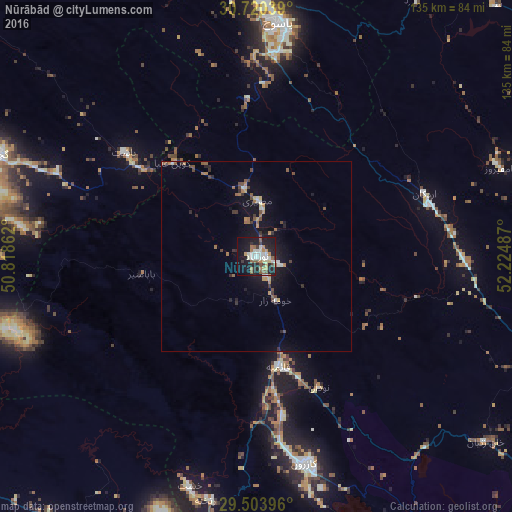

Analysis of Nūrābād night lights 2016
Square area 10x10 km:
 8.14%
8.14%90-99
7.58%80-89
3.79%70-79
3.98%60-69
5.87%50-59
6.25%40-49
3.03%30-39
3.6%20-29
11.93%10-19
35.61%0-9
10.23%Square area 50x50 km:
0.49%90-99
0.52%80-89
0.29%70-79
0.49%60-69
0.78%50-59
0.67%40-49
0.71%30-39
0.63%20-29
0.99%10-19
4.24%0-9
90.18%Clear (daylight) street map image can be seen on geolist.org.
Map coordinates:
30° 43' 13.4" North, 50° 49' 7" East
30° 6' 50.6" North, 51° 31' 18.3" East
29° 30' 14.3" North, 52° 13' 29.5" East
Some cities around Nūrābād sort by population:
• Shiraz
112.3 km =69.8 mi,  119°
119°
• Marvdasht
126.2 km =78.4 mi,  102°
102°
• Yasuj
61.9 km =38.5 mi,  5°
5°
• Dogonbadan
74.6 km =46.4 mi,  291°
291°
• Kāzerūn
56.5 km =35.1 mi,  166°
166°
• Borāzjān
98.3 km =61.1 mi,  197°
197°
• Dehdasht
118.9 km =73.9 mi,  309°
309°
• Bandar-e Genāveh
113.7 km =70.6 mi,  238°
238°
121925 (p: 64,041)
Sources (retrieved 2019-11-25):
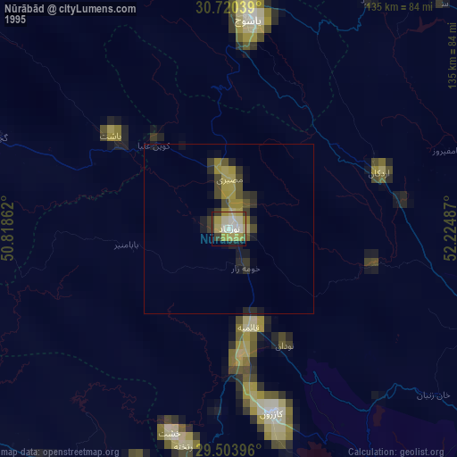
» NASA, Earths city lights 1995
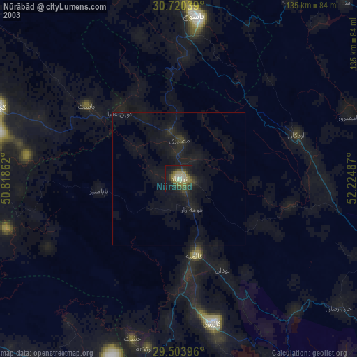
» NASA city lights 2003
» Earth at Night: Flat Maps 2012, 2016