Tonekābon night lights from space
Night Light of Tonekābon (Māzandarān) from space (Iran) Src. Average luminocity for 10x10km area is 37.0146% and for 50x50km: 8.4135%.
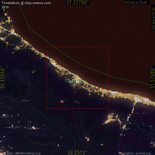
Analysis of Tonekābon night lights 2016
Square area 10x10 km:
 0%
0%90-99
0.32%80-89
1.14%70-79
18.67%60-69
11.36%50-59
3.9%40-49
4.06%30-39
9.58%20-29
10.71%10-19
27.92%0-9
12.34%Square area 50x50 km:
0.1%90-99
0.22%80-89
0.29%70-79
2.58%60-69
2.16%50-59
1.08%40-49
1.56%30-39
1.86%20-29
2.29%10-19
9.64%0-9
78.22%Clear (daylight) street map image can be seen on geolist.org.
Map coordinates:
37° 22' 37.5" North, 50° 10' 14.3" East
36° 48' 58.5" North, 50° 52' 25.5" East
36° 15' 4.7" North, 51° 34' 36.8" East
Some cities around Tonekābon sort by population:
• Qazvin
98.7 km =61.3 mi,  231°
231°
• Chālūs
51.9 km =32.2 mi,  110°
110°
• Langarūd
76.7 km =47.7 mi,  303°
303°
• Ābyek
88.2 km =54.8 mi,  199°
199°
• Rūdsar
62.8 km =39 mi, 304°
• Āstāneh-ye Ashrafīyeh
96.4 km =59.9 mi, 301°
• Nowshahr
58.5 km =36.4 mi, 108°
• Nashtārūd
15.2 km =9.4 mi,  118°
118°
112656 (p: 37,501)
Sources (retrieved 2019-11-25):
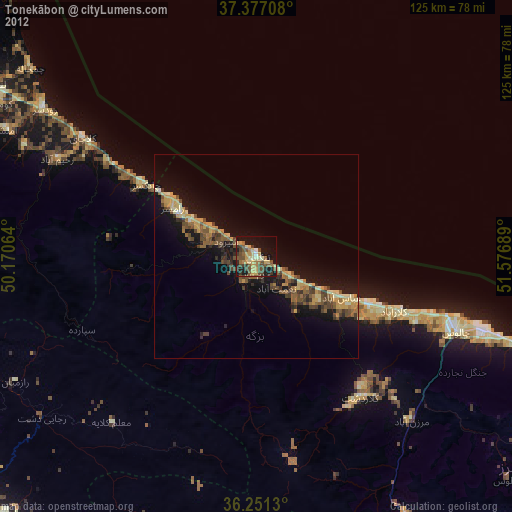
» Earth at Night: Flat Maps 2012, 2016