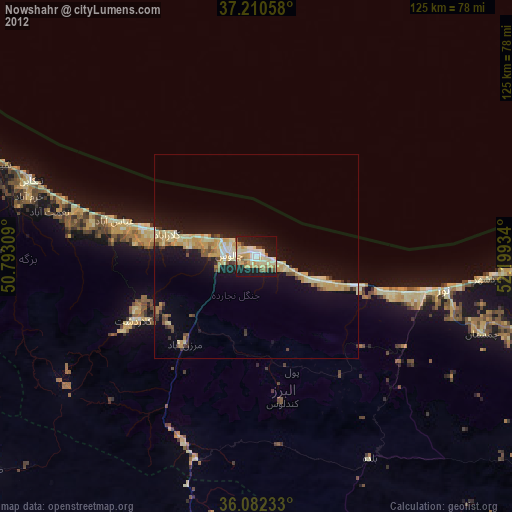
Nowshahr night lights from space
Night Light of Nowshahr (Māzandarān) from space (Iran) Src. Average luminocity for 10x10km area is 46.8425% and for 50x50km: 9.4988%.
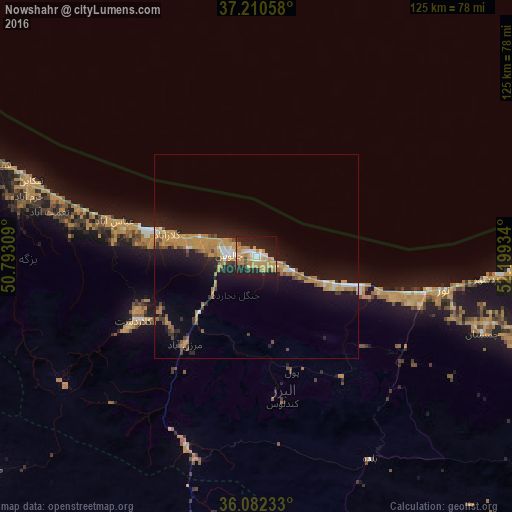
Analysis of Nowshahr night lights 2016
Square area 10x10 km:
 2.38%
2.38%90-99
7.33%80-89
5.13%70-79
18.5%60-69
12.82%50-59
1.83%40-49
0.92%30-39
2.93%20-29
19.96%10-19
25.27%0-9
2.93%Square area 50x50 km:
0.44%90-99
0.98%80-89
0.53%70-79
3.46%60-69
1.98%50-59
0.63%40-49
0.79%30-39
0.88%20-29
2.46%10-19
10.17%0-9
77.69%Clear (daylight) street map image can be seen on geolist.org.
Map coordinates:
37° 12' 38.1" North, 50° 47' 35.1" East
36° 38' 54.7" North, 51° 29' 46.4" East
36° 4' 56.4" North, 52° 11' 57.6" East
Some cities around Nowshahr sort by population:
• Karaj
101.4 km =63 mi,  206°
206°
• Bābol
106.1 km =65.9 mi,  95°
95°
• Āmol
78.9 km =49 mi, 104°
• Chālūs
6.8 km =4.2 mi,  276°
276°
• Bābolsar
103.7 km =64.4 mi,  86°
86°
• Tonekābon
58.5 km =36.4 mi,  288°
288°
• Fereydūnkenār
91.6 km =56.9 mi, 87°
• Nashtārūd
43.6 km =27.1 mi, 285°
121959 (p: 40,000)
Sources (retrieved 2019-11-25):
» Earth at Night: Flat Maps 2012, 2016