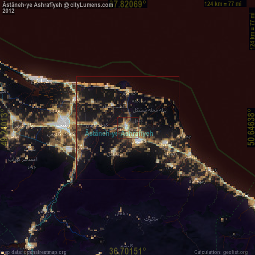
Āstāneh-ye Ashrafīyeh night lights from space
Night Light of Āstāneh-ye Ashrafīyeh (Gīlān) from space (Iran) Src. Average luminocity for 10x10km area is 43.2143% and for 50x50km: 17.1013%.
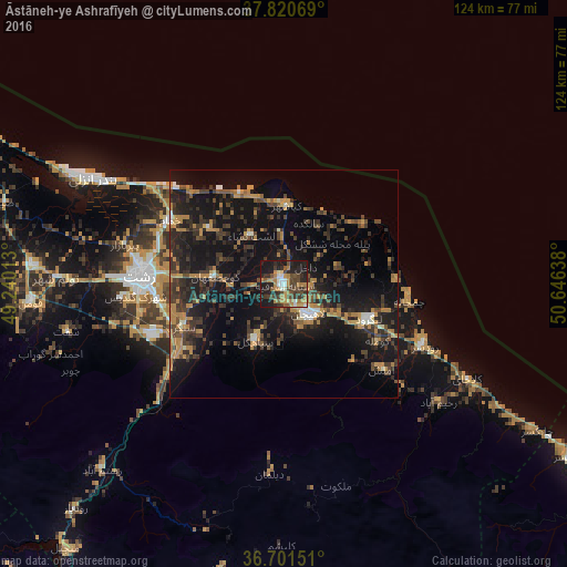
Analysis of Āstāneh-ye Ashrafīyeh night lights 2016
Square area 10x10 km:
 2.89%
2.89%90-99
5.44%80-89
2.21%70-79
7.65%60-69
12.76%50-59
4.76%40-49
12.93%30-39
9.18%20-29
16.16%10-19
25.85%0-9
0.17%Square area 50x50 km:
0.63%90-99
1.17%80-89
0.61%70-79
3.15%60-69
3.86%50-59
1.25%40-49
3.77%30-39
5.51%20-29
6.69%10-19
19.59%0-9
53.78%Clear (daylight) street map image can be seen on geolist.org.
Map coordinates:
37° 49' 14.5" North, 49° 14' 24.5" East
37° 15' 47.4" North, 49° 56' 35.7" East
36° 42' 5.4" North, 50° 38' 47" East
Some cities around Āstāneh-ye Ashrafīyeh sort by population:
• Rasht
31.4 km =19.5 mi,  272°
272°
• Bandar-e Anzalī
48.8 km =30.3 mi,  298°
298°
• Langarūd
20 km =12.4 mi,  112°
112°
• Rūdsar
33.9 km =21.1 mi, 114°
• Hashtpar
109.1 km =67.8 mi, 302°
• Tonekābon
96.4 km =59.9 mi,  121°
121°
• Fūman
56 km =34.8 mi, 265°
• Pādegān-e Manjīl
74.5 km =46.3 mi,  218°
218°
142679 (p: 42,784)
Sources (retrieved 2019-11-25):
» Earth at Night: Flat Maps 2012, 2016