Rūdsar night lights from space
Night Light of Rūdsar (Gīlān) from space (Iran) Src. Average luminocity for 10x10km area is 26.051% and for 50x50km: 8.5361%.
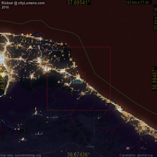
Analysis of Rūdsar night lights 2016
Square area 10x10 km:
 1.02%
1.02%90-99
2.21%80-89
1.02%70-79
6.12%60-69
7.82%50-59
2.38%40-49
2.72%30-39
3.4%20-29
6.46%10-19
39.12%0-9
27.72%Square area 50x50 km:
0.32%90-99
0.42%80-89
0.31%70-79
1.58%60-69
2.23%50-59
0.82%40-49
1.79%30-39
1.7%20-29
2.54%10-19
9.61%0-9
78.69%Clear (daylight) street map image can be seen on geolist.org.
Map coordinates:
37° 41' 43.5" North, 49° 35' 19" East
37° 8' 13.1" North, 50° 17' 30.3" East
36° 34' 27.7" North, 50° 59' 41.5" East
Some cities around Rūdsar sort by population:
• Rasht
64.2 km =39.9 mi,  283°
283°
• Bandar-e Anzalī
82.7 km =51.4 mi,  296°
296°
• Langarūd
13.9 km =8.6 mi, 297°
• Āstāneh-ye Ashrafīyeh
33.9 km =21.1 mi,  294°
294°
• Tonekābon
62.8 km =39 mi,  124°
124°
• Fūman
87.3 km =54.2 mi, 276°
• Pādegān-e Manjīl
89.4 km =55.6 mi,  240°
240°
• Nashtārūd
77.9 km =48.4 mi, 123°
118191 (p: 47,502)
Sources (retrieved 2019-11-25):
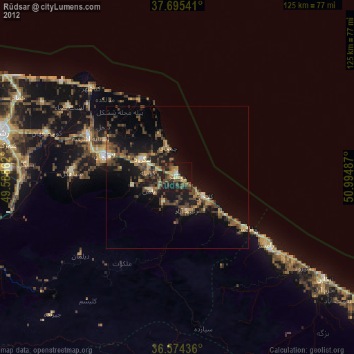
» Earth at Night: Flat Maps 2012, 2016