Takāb night lights from space
Night Light of Takāb (West Azerbaijan) from space (Iran) Src. Average luminocity for 10x10km area is 19.4563% and for 50x50km: 1.2734%.
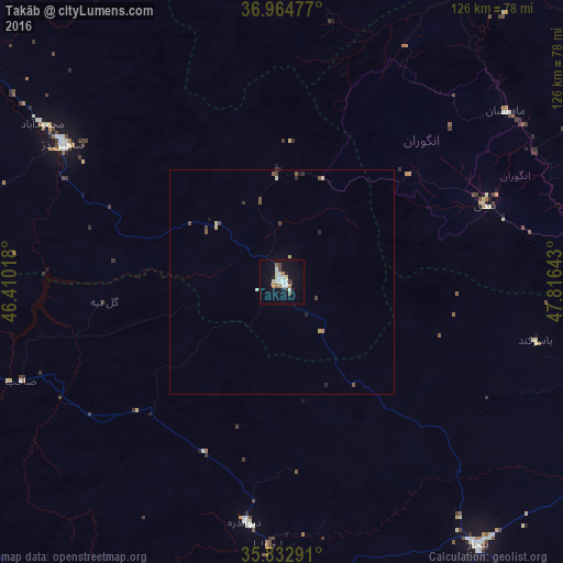
Analysis of Takāb night lights 2016
Square area 10x10 km:
 4.02%
4.02%90-99
4.55%80-89
1.92%70-79
0.35%60-69
2.27%50-59
1.57%40-49
1.75%30-39
1.75%20-29
1.4%10-19
13.46%0-9
66.96%Square area 50x50 km:
0.16%90-99
0.23%80-89
0.18%70-79
0.05%60-69
0.12%50-59
0.19%40-49
0.23%30-39
0.17%20-29
0.18%10-19
0.61%0-9
97.86%Clear (daylight) street map image can be seen on geolist.org.
Map coordinates:
36° 57' 53.2" North, 46° 24' 36.6" East
36° 24' 3.2" North, 47° 6' 47.9" East
35° 49' 58.5" North, 47° 48' 59.1" East
Some cities around Takāb sort by population:
• Sanandaj
121.2 km =75.3 mi,  184°
184°
• Būkān
82 km =51 mi,  279°
279°
• Saqqez
77.1 km =47.9 mi,  257°
257°
• Mīāndoāb
109.4 km =68 mi,  305°
305°
• Bāneh
119 km =73.9 mi,  247°
247°
• Bījār
74 km =46 mi,  143°
143°
• Shāhīn Dezh
57.8 km =35.9 mi,  302°
302°
• Hashtrūd
119.9 km =74.5 mi,  357°
357°
113508 (p: 51,541)
Sources (retrieved 2019-11-25):
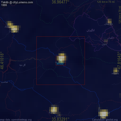
» NASA, Earths city lights 1995
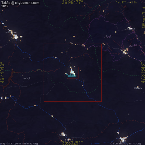
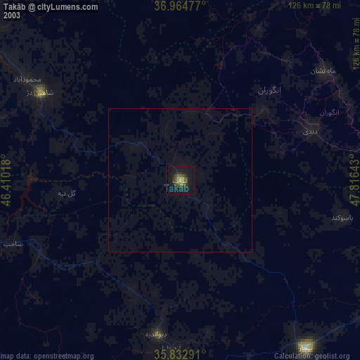
» NASA city lights 2003
» Earth at Night: Flat Maps 2012, 2016