Mīāndoāb night lights from space
Night Light of Mīāndoāb (West Azerbaijan) from space (Iran) Src. Average luminocity for 10x10km area is 54.3555% and for 50x50km: 10.7862%.
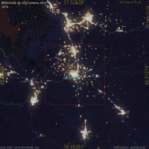
Analysis of Mīāndoāb night lights 2016
Square area 10x10 km:
 6.82%
6.82%90-99
14.45%80-89
12.34%70-79
6.82%60-69
3.57%50-59
1.3%40-49
7.95%30-39
13.64%20-29
23.7%10-19
9.25%0-9
0.16%Square area 50x50 km:
0.4%90-99
1.79%80-89
1.87%70-79
1.24%60-69
1.07%50-59
1.11%40-49
1.76%30-39
2.64%20-29
3.66%10-19
10.27%0-9
74.2%Clear (daylight) street map image can be seen on geolist.org.
Map coordinates:
37° 31' 35" North, 45° 24' 23.4" East
36° 58' 0" North, 46° 6' 34.6" East
36° 24' 10.1" North, 46° 48' 45.9" East
Some cities around Mīāndoāb sort by population:
• Būkān
50.3 km =31.3 mi,  169°
169°
• Mahābād
41.2 km =25.6 mi,  236°
236°
• Saqqez
81 km =50.3 mi, 169°
• Bonāb
41.8 km =26 mi,  353°
353°
• Naqadeh
64.1 km =39.8 mi,  268°
268°
• Oshnavīyeh
90.2 km =56 mi,  275°
275°
• Shāhīn Dezh
51.7 km =32.1 mi,  128°
128°
• ‘Ajab Shīr
59.9 km =37.2 mi,  341°
341°
124085 (p: 132,819)
Sources (retrieved 2019-11-25):
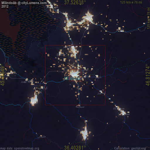
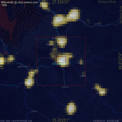
» NASA, Earths city lights 1995
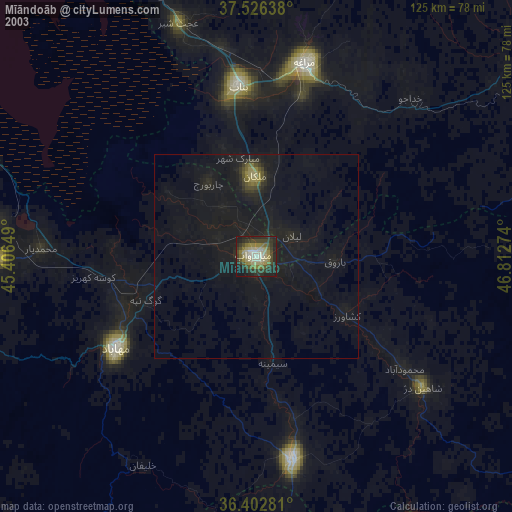
» NASA city lights 2003
» Earth at Night: Flat Maps 2012, 2016