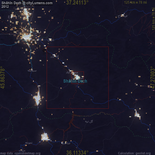
Shāhīn Dezh night lights from space
Night Light of Shāhīn Dezh (West Azerbaijan) from space (Iran) Src. Average luminocity for 10x10km area is 25.2033% and for 50x50km: 1.7459%.
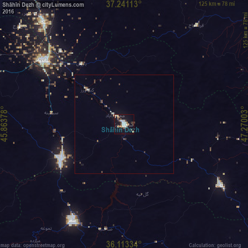
Analysis of Shāhīn Dezh night lights 2016
Square area 10x10 km:
 3.3%
3.3%90-99
5.68%80-89
2.93%70-79
1.28%60-69
3.66%50-59
2.93%40-49
3.48%30-39
3.11%20-29
3.11%10-19
26.01%0-9
44.51%Square area 50x50 km:
0.12%90-99
0.31%80-89
0.18%70-79
0.08%60-69
0.21%50-59
0.23%40-49
0.38%30-39
0.34%20-29
0.34%10-19
1.16%0-9
96.64%Clear (daylight) street map image can be seen on geolist.org.
Map coordinates:
37° 14' 28.1" North, 45° 51' 49.6" East
36° 40' 45.5" North, 46° 34' 0.8" East
36° 6' 48" North, 47° 16' 12.1" East
Some cities around Shāhīn Dezh sort by population:
• Būkān
36.5 km =22.7 mi,  241°
241°
• Mahābād
75.9 km =47.2 mi,  277°
277°
• Saqqez
54.5 km =33.9 mi,  208°
208°
• Mīāndoāb
51.7 km =32.1 mi,  308°
308°
• Bāneh
97.3 km =60.5 mi,  218°
218°
• Bonāb
86.4 km =53.7 mi,  328°
328°
• Takāb
57.8 km =35.9 mi,  122°
122°
• Hashtrūd
98.6 km =61.3 mi,  25°
25°
117793 (p: 41,442)
Sources (retrieved 2019-11-25):
» Earth at Night: Flat Maps 2012, 2016