Saqqez night lights from space
Night Light of Saqqez (Kordestān) from space (Iran) Src. Average luminocity for 10x10km area is 38.0507% and for 50x50km: 2.2311%.
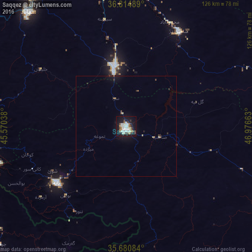
Analysis of Saqqez night lights 2016
Square area 10x10 km:
 8.22%
8.22%90-99
11.36%80-89
3.32%70-79
2.45%60-69
2.8%50-59
1.22%40-49
6.29%30-39
4.2%20-29
3.32%10-19
43.36%0-9
13.46%Square area 50x50 km:
0.32%90-99
0.48%80-89
0.22%70-79
0.16%60-69
0.22%50-59
0.05%40-49
0.33%30-39
0.29%20-29
0.28%10-19
2.55%0-9
95.1%Clear (daylight) street map image can be seen on geolist.org.
Map coordinates:
36° 48' 53.6" North, 45° 34' 13.4" East
36° 14' 59.7" North, 46° 16' 24.6" East
35° 40' 51" North, 46° 58' 35.9" East
Some cities around Saqqez sort by population:
• Būkān
30.7 km =19.1 mi,  349°
349°
• Mahābād
75.4 km =46.9 mi,  319°
319°
• Mīāndoāb
81 km =50.3 mi, 349°
• Bāneh
44.8 km =27.8 mi,  231°
231°
• Marīvān
81.8 km =50.8 mi,  185°
185°
• Takāb
77.1 km =47.9 mi,  77°
77°
• Shāhīn Dezh
54.5 km =33.9 mi,  28°
28°
• Baynjiwayn, IQ
75.8 km =47.1 mi,  202°
202°
117392 (p: 151,237)
Sources (retrieved 2019-11-25):
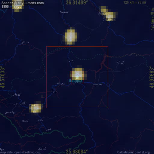
» NASA, Earths city lights 1995
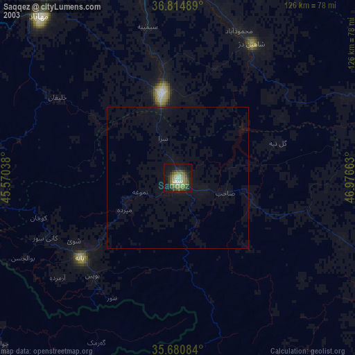
» NASA city lights 2003
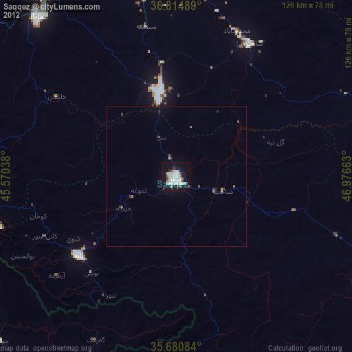
» Earth at Night: Flat Maps 2012, 2016