Sanandaj night lights from space
Night Light of Sanandaj (Kordestān) from space (Iran) Src. Average luminocity for 10x10km area is 71.2967% and for 50x50km: 7.2499%.
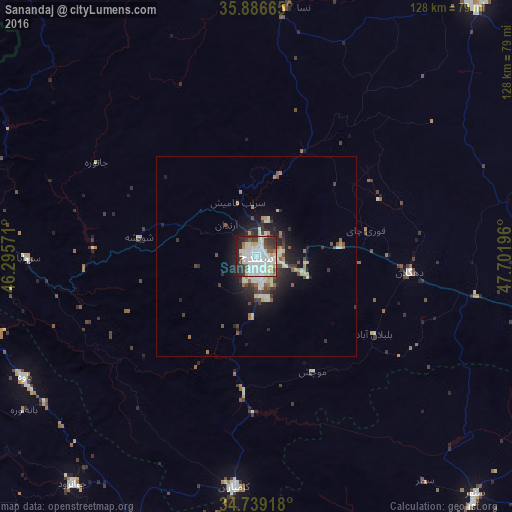
Analysis of Sanandaj night lights 2016
Square area 10x10 km:
 20.15%
90-99
27.47%80-89
9.52%70-79
3.85%60-69
2.56%50-59
5.49%40-49
5.13%30-39
8.61%20-29
13%10-19
4.21%0-9
0%Square area 50x50 km:
0.91%90-99
1.89%80-89
1.05%70-79
0.53%60-69
0.52%50-59
0.76%40-49
0.93%30-39
1.2%20-29
2.16%10-19
4.52%0-9
85.52%Clear (daylight) street map image can be seen on geolist.org.
Map coordinates:
35° 53' 11.9" North, 46° 17' 44.6" East
35° 18' 53.8" North, 46° 59' 55.8" East
34° 44' 21" North, 47° 42' 7.1" East
Some cities around Sanandaj sort by population:
• Marīvān
77.3 km =48 mi,  287°
287°
• Qorveh
75.1 km =46.7 mi,  102°
102°
• Kāmyārān
58 km =36 mi,  185°
185°
• Ḩalabjah, IQ
93.2 km =57.9 mi,  260°
260°
• Bījār
82.3 km =51.1 mi,  41°
41°
• Sonqor
80.6 km =50.1 mi,  137°
137°
• Javānrūd
72.5 km =45 mi,  217°
217°
• Pāveh
65.7 km =40.8 mi,  242°
242°
117574 (p: 349,176)
Sources (retrieved 2019-11-25):
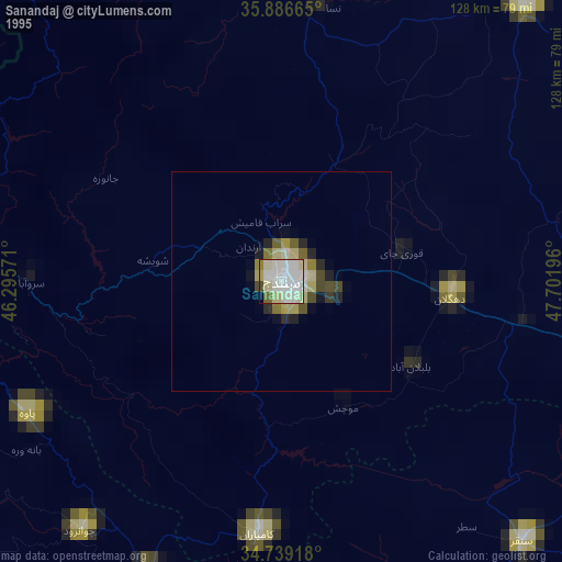
» NASA, Earths city lights 1995
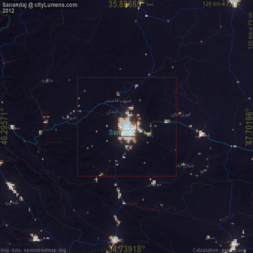
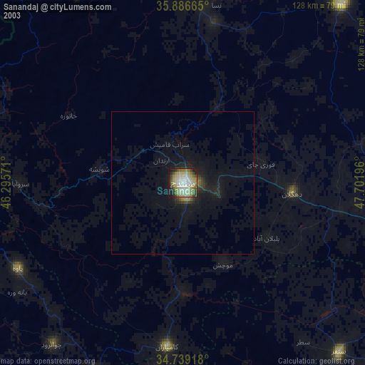
» NASA city lights 2003
» Earth at Night: Flat Maps 2012, 2016