Kahrīz night lights from space
Night Light of Kahrīz (Kermānshāh) from space (Iran) Src. Average luminocity for 10x10km area is 71.1209% and for 50x50km: 16.4891%.
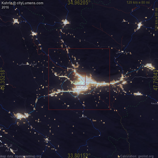
Analysis of Kahrīz night lights 2016
Square area 10x10 km:
 25.27%
90-99
20.88%80-89
2.2%70-79
3.48%60-69
11.9%50-59
8.79%40-49
6.96%30-39
9.89%20-29
10.07%10-19
0.55%0-9
0%Square area 50x50 km:
2.85%90-99
3.94%80-89
1.16%70-79
1.4%60-69
1.83%50-59
2.03%40-49
2.19%30-39
2.53%20-29
4.61%10-19
11.33%0-9
66.15%Clear (daylight) street map image can be seen on geolist.org.
Map coordinates:
34° 57' 43.4" North, 46° 21' 7.8" East
34° 23' 1.7" North, 47° 3' 19.1" East
33° 48' 5.5" North, 47° 45' 30.3" East
Some cities around Kahrīz sort by population:
• Kermanshah
7.8 km =4.8 mi,  173°
173°
• Nūrābād
91.1 km =56.6 mi,  112°
112°
• Kāmyārān
47.1 km =29.3 mi,  346°
346°
• Harsīn
50.3 km =31.3 mi,  104°
104°
• Kangāvar
84.5 km =52.5 mi,  80°
80°
• Sonqor
66.6 km =41.4 mi,  48°
48°
• Javānrūd
67.3 km =41.8 mi,  312°
312°
• Pāveh
97.3 km =60.5 mi,  318°
318°
23814 (p: 766,706)
Sources (retrieved 2019-11-25):
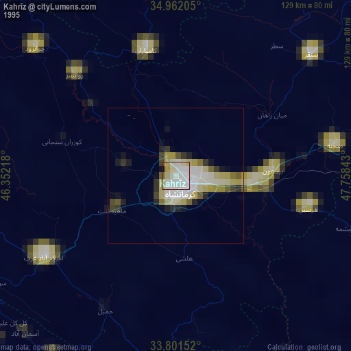
» NASA, Earths city lights 1995
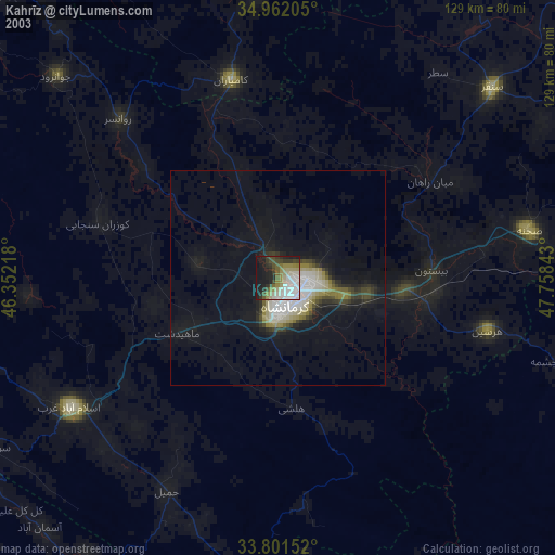
» NASA city lights 2003
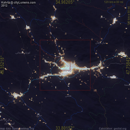
» Earth at Night: Flat Maps 2012, 2016