Qorveh night lights from space
Night Light of Qorveh (Kordestān) from space (Iran) Src. Average luminocity for 10x10km area is 29.1941% and for 50x50km: 2.3589%.
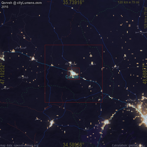
Analysis of Qorveh night lights 2016
Square area 10x10 km:
 4.37%
4.37%90-99
7.52%80-89
4.72%70-79
1.57%60-69
3.5%50-59
1.57%40-49
2.97%30-39
1.05%20-29
2.1%10-19
38.99%0-9
31.64%Square area 50x50 km:
0.2%90-99
0.49%80-89
0.33%70-79
0.18%60-69
0.28%50-59
0.17%40-49
0.34%30-39
0.28%20-29
0.48%10-19
1.83%0-9
95.41%Clear (daylight) street map image can be seen on geolist.org.
Map coordinates:
35° 44' 21" North, 47° 6' 9.1" East
35° 9' 59" North, 47° 48' 20.3" East
34° 35' 22.5" North, 48° 30' 31.6" East
Some cities around Qorveh sort by population:
• Pasragad Branch
74.5 km =46.3 mi,  125°
125°
• Hamadān
76.4 km =47.5 mi,  122°
122°
• Sanandaj
75.1 km =46.7 mi,  282°
282°
• Asadābād
51.4 km =31.9 mi,  146°
146°
• Bījār
80 km =49.7 mi,  346°
346°
• Kangāvar
75 km =46.6 mi,  168°
168°
• Sonqor
46.7 km =29 mi,  203°
203°
• Bahār
64.7 km =40.2 mi, 116°
119161 (p: 87,953)
Sources (retrieved 2019-11-25):
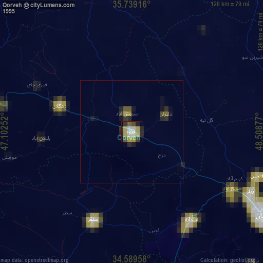
» NASA, Earths city lights 1995
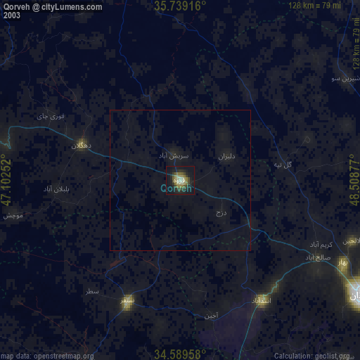
» NASA city lights 2003
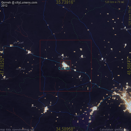
» Earth at Night: Flat Maps 2012, 2016