Kāmyārān night lights from space
Night Light of Kāmyārān (Kordestān) from space (Iran) Src. Average luminocity for 10x10km area is 20.0824% and for 50x50km: 2.0672%.
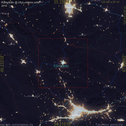
Analysis of Kāmyārān night lights 2016
Square area 10x10 km:
 2.56%
2.56%90-99
6.78%80-89
1.65%70-79
0%60-69
2.01%50-59
1.28%40-49
2.75%30-39
2.2%20-29
2.2%10-19
14.29%0-9
64.29%Square area 50x50 km:
0.1%90-99
0.36%80-89
0.15%70-79
0.11%60-69
0.22%50-59
0.35%40-49
0.5%30-39
0.63%20-29
0.43%10-19
0.81%0-9
96.34%Clear (daylight) street map image can be seen on geolist.org.
Map coordinates:
35° 22' 15.5" North, 46° 13' 56.6" East
34° 47' 44.2" North, 46° 56' 7.8" East
34° 12' 58.2" North, 47° 38' 19.1" East
Some cities around Kāmyārān sort by population:
• Kahrīz
47.1 km =29.3 mi,  166°
166°
• Kermanshah
54.8 km =34.1 mi, 167°
• Sanandaj
58 km =36 mi,  5°
5°
• Qorveh
89.4 km =55.6 mi,  62°
62°
• Harsīn
83.3 km =51.8 mi,  134°
134°
• Sonqor
60.6 km =37.7 mi,  91°
91°
• Javānrūd
38.2 km =23.7 mi,  270°
270°
• Pāveh
59.5 km =37 mi,  297°
297°
128905 (p: 61,642)
Sources (retrieved 2019-11-25):
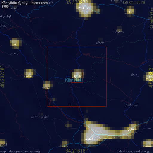
» NASA, Earths city lights 1995
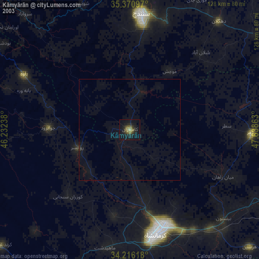
» NASA city lights 2003
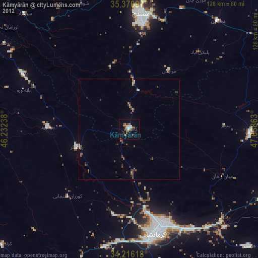
» Earth at Night: Flat Maps 2012, 2016