Sarpol-e Z̄ahāb night lights from space
Night Light of Sarpol-e Z̄ahāb (Kermānshāh) from space (Iran) Src. Average luminocity for 10x10km area is 30.1678% and for 50x50km: 3.3758%.
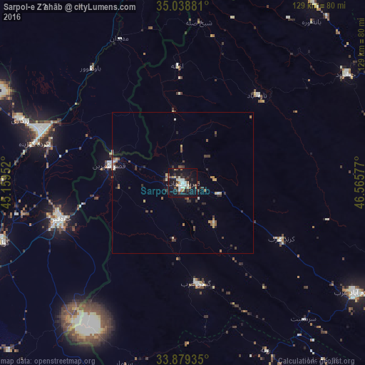
Analysis of Sarpol-e Z̄ahāb night lights 2016
Square area 10x10 km:
 3.85%
3.85%90-99
7.52%80-89
2.1%70-79
2.97%60-69
2.45%50-59
2.45%40-49
3.67%30-39
6.64%20-29
4.37%10-19
45.1%0-9
18.88%Square area 50x50 km:
0.2%90-99
0.58%80-89
0.34%70-79
0.38%60-69
0.39%50-59
0.48%40-49
0.56%30-39
0.93%20-29
0.54%10-19
2.36%0-9
93.25%Clear (daylight) street map image can be seen on geolist.org.
Map coordinates:
35° 2' 19.7" North, 45° 9' 34.3" East
34° 27' 39.9" North, 45° 51' 45.5" East
33° 52' 45.7" North, 46° 33' 56.8" East
Some cities around Sarpol-e Z̄ahāb sort by population:
• Īlām
105.1 km =65.3 mi,  150°
150°
• Kāmyārān
105 km =65.2 mi,  69°
69°
• Ḩalabjah, IQ
80.5 km =50 mi,  8°
8°
• Al Miqdādīyah, IQ
100.6 km =62.5 mi,  237°
237°
• Javānrūd
70.5 km =43.8 mi,  58°
58°
• Kifrī, IQ
86.4 km =53.7 mi,  287°
287°
• Mandalī, IQ
84.2 km =52.3 mi,  199°
199°
• Pāveh
78.9 km =49 mi,  34°
34°
120931 (p: 51,611)
Sources (retrieved 2019-11-25):
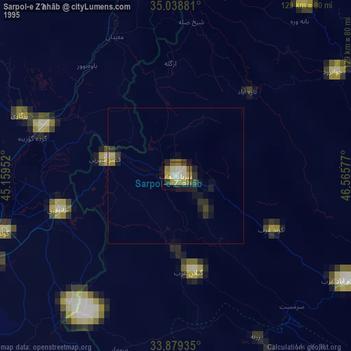
» NASA, Earths city lights 1995
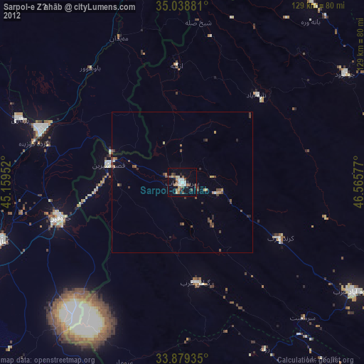
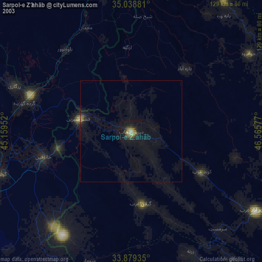
» NASA city lights 2003
» Earth at Night: Flat Maps 2012, 2016