Ḩalabjah night lights from space
Night Light of Ḩalabjah (Sulaymaniyah) from space (Iraq) Src. Average luminocity for 10x10km area is 36.0647% and for 50x50km: 4.942%.
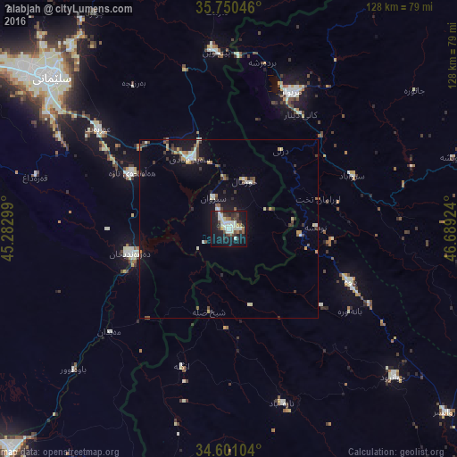
Analysis of Ḩalabjah night lights 2016
Square area 10x10 km:
 2.97%
2.97%90-99
15.38%80-89
1.92%70-79
1.4%60-69
2.1%50-59
3.5%40-49
4.37%30-39
8.04%20-29
7.34%10-19
37.24%0-9
15.73%Square area 50x50 km:
0.22%90-99
1.22%80-89
0.51%70-79
0.47%60-69
0.27%50-59
0.55%40-49
0.72%30-39
1.22%20-29
0.7%10-19
4.17%0-9
89.96%Clear (daylight) street map image can be seen on geolist.org.
Map coordinates:
35° 45' 1.7" North, 45° 16' 58.8" East
35° 10' 40" North, 45° 59' 10" East
34° 36' 3.7" North, 46° 41' 21.3" East
Some cities around Ḩalabjah sort by population:
• As Sulaymānīyah
66.1 km =41.1 mi,  310°
310°
• Sanandaj, IR
93.2 km =57.9 mi,  80°
80°
• Bāneh, IR
91.6 km =56.9 mi,  354°
354°
• Marīvān, IR
41.9 km =26 mi,  25°
25°
• Sarpol-e Z̄ahāb, IR
80.5 km =50 mi,  188°
188°
• Javānrūd, IR
64.4 km =40 mi,  131°
131°
• Baynjiwayn
49.3 km =30.6 mi,  356°
356°
• Pāveh, IR
36.9 km =22.9 mi,  113°
113°
96205 (p: 57,333)
Sources (retrieved 2019-11-25):
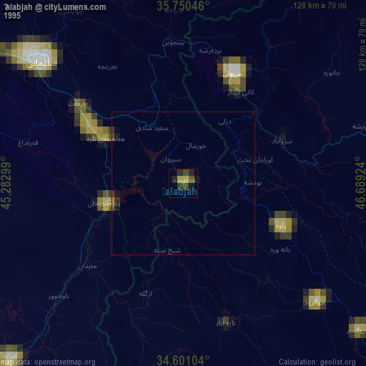
» NASA, Earths city lights 1995
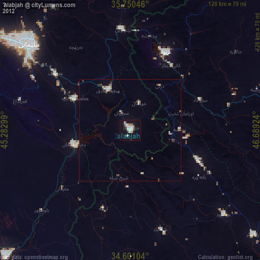
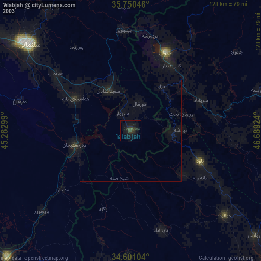
» NASA city lights 2003
» Earth at Night: Flat Maps 2012, 2016