Kifrī night lights from space
Night Light of Kifrī (Diyālá) from space (Iraq) Src. Average luminocity for 10x10km area is 24.75% and for 50x50km: 4.2207%.
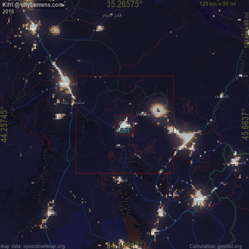
Analysis of Kifrī night lights 2016
Square area 10x10 km:
 3.15%
3.15%90-99
9.44%80-89
0.7%70-79
0%60-69
1.4%50-59
1.4%40-49
5.24%30-39
4.02%20-29
2.8%10-19
26.92%0-9
44.93%Square area 50x50 km:
0.13%90-99
1.08%80-89
0.42%70-79
0.25%60-69
0.45%50-59
0.41%40-49
0.73%30-39
0.96%20-29
0.77%10-19
4.38%0-9
90.41%Clear (daylight) street map image can be seen on geolist.org.
Map coordinates:
35° 15' 56.7" North, 44° 15' 26.8" East
34° 41' 22.7" North, 44° 57' 38.1" East
34° 6' 34.1" North, 45° 39' 49.3" East
Some cities around Kifrī sort by population:
• As Sulaymānīyah
106.4 km =66.1 mi,  23°
23°
• Kirkuk
100.8 km =62.6 mi,  329°
329°
• Jamjamāl
94.5 km =58.7 mi,  353°
353°
• Khāliş
105.6 km =65.6 mi,  201°
201°
• Tozkhurmato
37.2 km =23.1 mi,  306°
306°
• Sarpol-e Z̄ahāb, IR
86.4 km =53.7 mi,  107°
107°
• Al Miqdādīyah
79.1 km =49.2 mi,  181°
181°
• Balad
105.9 km =65.8 mi,  224°
224°
94298 (p: 30,143)
Sources (retrieved 2019-11-25):
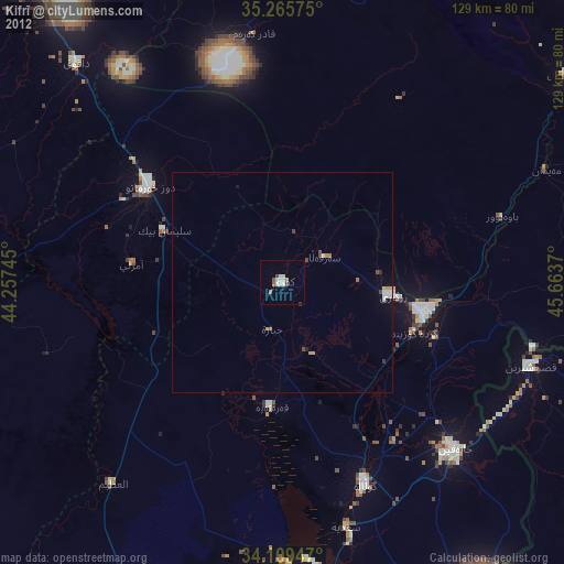
» Earth at Night: Flat Maps 2012, 2016