Īlām night lights from space
Night Light of Īlām (Ilam Province) from space (Iran) Src. Average luminocity for 10x10km area is 57.6941% and for 50x50km: 15.1615%.
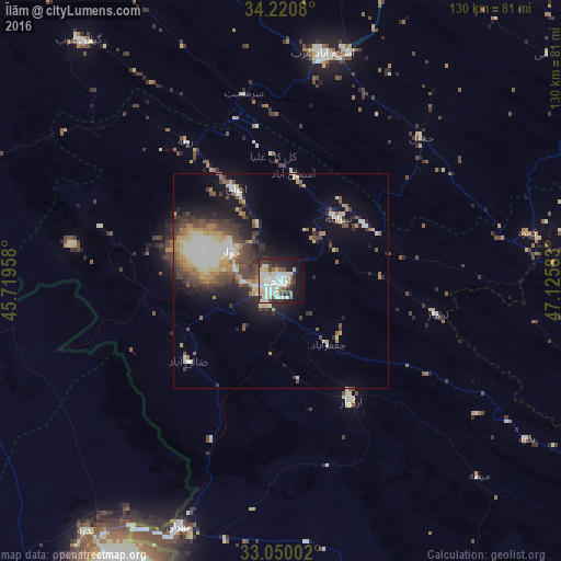
Analysis of Īlām night lights 2016
Square area 10x10 km:
 13.55%
90-99
22.53%80-89
7.14%70-79
2.75%60-69
2.75%50-59
4.58%40-49
3.48%30-39
9.71%20-29
10.07%10-19
18.68%0-9
4.76%Square area 50x50 km:
1.05%90-99
4.08%80-89
2.02%70-79
1.6%60-69
1.7%50-59
1.94%40-49
2.74%30-39
3.11%20-29
3.24%10-19
7.86%0-9
70.67%Clear (daylight) street map image can be seen on geolist.org.
Map coordinates:
34° 13' 14.9" North, 45° 43' 10.5" East
33° 38' 14.6" North, 46° 25' 21.7" East
33° 3' 0.1" North, 47° 7' 33" East
Some cities around Īlām sort by population:
• Kahrīz
101.4 km =63 mi,  35°
35°
• Kermanshah
95.8 km =59.5 mi, 38°
• Kūhdasht
110.6 km =68.7 mi,  96°
96°
• Sarpol-e Z̄ahāb
105.1 km =65.3 mi,  330°
330°
• Mandalī, IQ
81.2 km =50.5 mi,  278°
278°
• Darreh Shahr
104.4 km =64.9 mi,  121°
121°
• Ābdānān
117.1 km =72.8 mi,  127°
127°
• Mehrān
62.1 km =38.6 mi,  202°
202°
130802 (p: 140,940)
Sources (retrieved 2019-11-25):
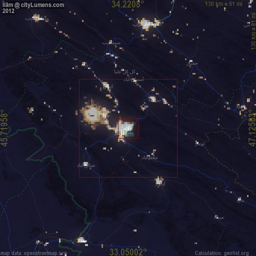
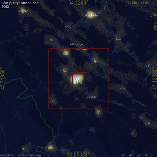
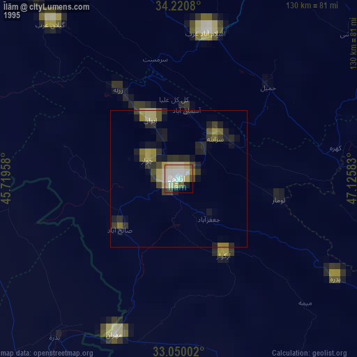
» NASA, Earths city lights 1995
» NASA city lights 2003
» Earth at Night: Flat Maps 2012, 2016