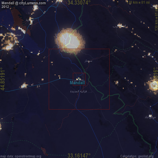
Mandalī night lights from space
Night Light of Mandalī (Diyālá) from space (Iraq) Src. Average luminocity for 10x10km area is 8.0952% and for 50x50km: 1.5515%.
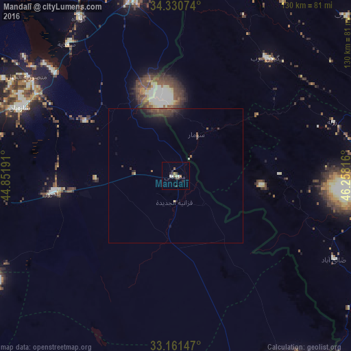
Analysis of Mandalī night lights 2016
Square area 10x10 km:
 0%
0%90-99
2.2%80-89
0.92%70-79
0.73%60-69
0.55%50-59
1.47%40-49
2.2%30-39
1.65%20-29
2.01%10-19
0%0-9
88.28%Square area 50x50 km:
0%90-99
0.11%80-89
0.09%70-79
0.11%60-69
0.15%50-59
0.3%40-49
0.57%30-39
0.71%20-29
0.52%10-19
1.31%0-9
96.12%Clear (daylight) street map image can be seen on geolist.org.
Map coordinates:
34° 19' 50.7" North, 44° 51' 6.9" East
33° 44' 53.2" North, 45° 33' 18.1" East
33° 9' 41.3" North, 46° 15' 29.4" East
Some cities around Mandalī sort by population:
• Baghdad
116.2 km =72.2 mi,  247°
247°
• Baqubah
87.8 km =54.6 mi,  270°
270°
• Īlām, IR
81.2 km =50.5 mi,  98°
98°
• Khāliş
94.7 km =58.8 mi, 274°
• Sarpol-e Z̄ahāb, IR
84.2 km =52.3 mi,  19°
19°
• Al Miqdādīyah
62.6 km =38.9 mi,  294°
294°
• Al ‘Azīzīyah
103.8 km =64.5 mi,  206°
206°
• Mehrān, IR
89.7 km =55.7 mi,  140°
140°
93709 (p: 29,785)
Sources (retrieved 2019-11-25):
» Earth at Night: Flat Maps 2012, 2016