Sarakhs night lights from space
Night Light of Sarakhs (Razavi Khorasan) from space (Iran) Src. Average luminocity for 10x10km area is 39.8407% and for 50x50km: 4.4939%.
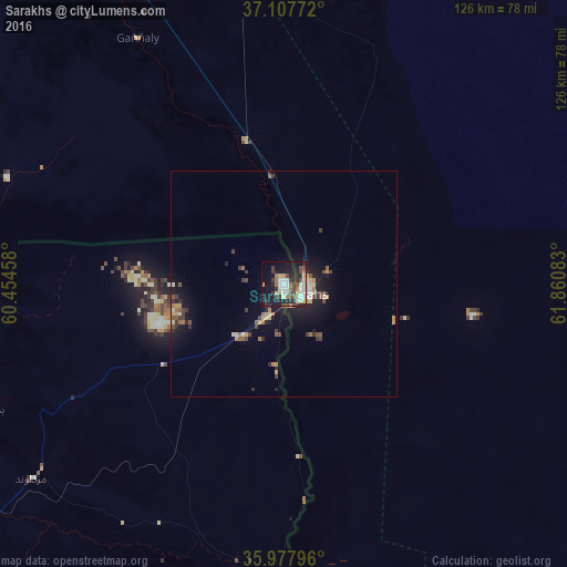
Analysis of Sarakhs night lights 2016
Square area 10x10 km:
 5.86%
5.86%90-99
9.16%80-89
7.51%70-79
1.28%60-69
4.03%50-59
2.38%40-49
7.69%30-39
8.42%20-29
12.27%10-19
30.04%0-9
11.36%Square area 50x50 km:
0.32%90-99
0.64%80-89
0.71%70-79
0.4%60-69
0.5%50-59
0.5%40-49
0.77%30-39
1%20-29
1.08%10-19
4.14%0-9
89.94%Clear (daylight) street map image can be seen on geolist.org.
Map coordinates:
37° 6' 27.8" North, 60° 27' 16.5" East
36° 32' 41.6" North, 61° 9' 27.7" East
35° 58' 40.7" North, 61° 51' 39" East
Some cities around Sarakhs sort by population:
• Mashhad
144.5 km =89.8 mi,  259°
259°
• Mary, TM
131 km =81.4 mi,  27°
27°
• Bayramaly, TM
149.2 km =92.7 mi,  36°
36°
• Tejen, TM
109.8 km =68.2 mi,  328°
328°
• Torbat-e Jām
152.5 km =94.8 mi,  198°
198°
• Yolöten, TM
135.8 km =84.4 mi,  51°
51°
• Kaka, TM
163.7 km =101.7 mi,  303°
303°
• Murgab, TM
128.1 km =79.6 mi, 34°
1159716 (p: 46,499)
Sources (retrieved 2019-11-25):
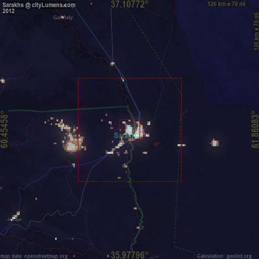
» Earth at Night: Flat Maps 2012, 2016