Yolöten night lights from space
Night Light of Yolöten (Mary) from space (Turkmenistan) Src. Average luminocity for 10x10km area is 41.3425% and for 50x50km: 9.8809%.
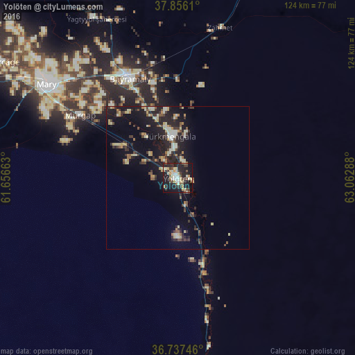
Analysis of Yolöten night lights 2016
Square area 10x10 km:
 3.08%
3.08%90-99
10.06%80-89
8.12%70-79
5.03%60-69
2.44%50-59
3.41%40-49
5.19%30-39
8.6%20-29
19.97%10-19
30.84%0-9
3.25%Square area 50x50 km:
0.3%90-99
1.99%80-89
1.74%70-79
0.91%60-69
0.79%50-59
1.01%40-49
1.22%30-39
2.01%20-29
4.15%10-19
9.24%0-9
76.65%Clear (daylight) street map image can be seen on geolist.org.
Map coordinates:
37° 51' 22" North, 61° 39' 23.9" East
37° 17' 55.9" North, 62° 21' 35.1" East
36° 44' 14.9" North, 63° 3' 46.4" East
Some cities around Yolöten sort by population:
• Türkmenabat
224.2 km =139.3 mi,  28°
28°
• Mary
57.1 km =35.5 mi,  305°
305°
• Bayramaly
39.4 km =24.5 mi,  334°
334°
• Tejen
164.2 km =102 mi,  273°
273°
• Sarakhs, IR
135.8 km =84.4 mi,  231°
231°
• Ghormach, AF
215.8 km =134.1 mi,  143°
143°
• Saýat
212.1 km =131.8 mi,  38°
38°
• Murgab
40.7 km =25.3 mi,  302°
302°
1218021 (p: 37,705)
Sources (retrieved 2019-11-25):
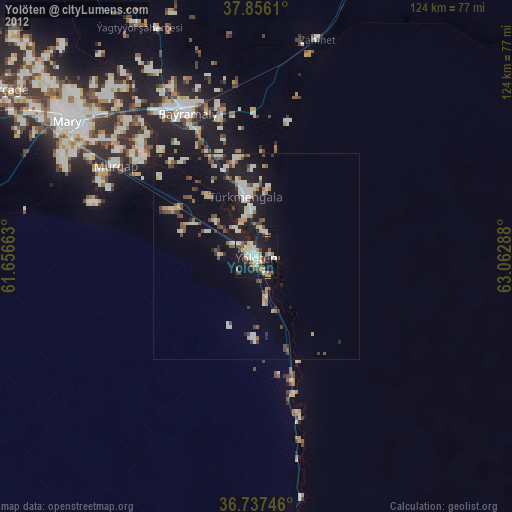
» Earth at Night: Flat Maps 2012, 2016