Kaka night lights from space
Night Light of Kaka (Ahal) from space (Turkmenistan) Src. Average luminocity for 10x10km area is 23.724% and for 50x50km: 2.0684%.
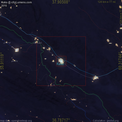
Analysis of Kaka night lights 2016
Square area 10x10 km:
 4.38%
4.38%90-99
4.87%80-89
5.19%70-79
1.14%60-69
0.65%50-59
1.79%40-49
2.6%30-39
1.46%20-29
1.3%10-19
27.44%0-9
49.19%Square area 50x50 km:
0.18%90-99
0.27%80-89
0.55%70-79
0.22%60-69
0.15%50-59
0.14%40-49
0.29%30-39
0.3%20-29
0.14%10-19
1.34%0-9
96.41%Clear (daylight) street map image can be seen on geolist.org.
Map coordinates:
37° 54' 18.3" North, 58° 54' 40.3" East
37° 20' 53.6" North, 59° 36' 51.5" East
36° 47' 13.8" North, 60° 19' 2.8" East
Some cities around Kaka sort by population:
• Mashhad, IR
114.9 km =71.4 mi,  182°
182°
• Ashgabat
127.4 km =79.2 mi,  301°
301°
• Neyshābūr, IR
145.7 km =90.5 mi,  210°
210°
• Qūchān, IR
101.4 km =63 mi,  254°
254°
• Tejen
78.8 km =49 mi,  87°
87°
• Chenārān, IR
89.6 km =55.7 mi, 209°
• Abadan
147.3 km =91.5 mi, 302°
• Annau
113.8 km =70.7 mi, 301°
161901 (p: 18,545)
Sources (retrieved 2019-11-25):
» Earth at Night: Flat Maps 2012, 2016