Torbat-e Jām night lights from space
Night Light of Torbat-e Jām (Razavi Khorasan) from space (Iran) Src. Average luminocity for 10x10km area is 30.1993% and for 50x50km: 2.045%.
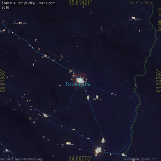
Analysis of Torbat-e Jām night lights 2016
Square area 10x10 km:
 5.42%
5.42%90-99
7.17%80-89
4.9%70-79
0.7%60-69
2.62%50-59
1.92%40-49
4.55%30-39
2.8%20-29
1.22%10-19
41.08%0-9
27.62%Square area 50x50 km:
0.22%90-99
0.34%80-89
0.26%70-79
0.11%60-69
0.28%50-59
0.2%40-49
0.37%30-39
0.43%20-29
0.16%10-19
1.89%0-9
95.73%Clear (daylight) street map image can be seen on geolist.org.
Map coordinates:
35° 48' 58.4" North, 59° 55' 9.8" East
35° 14' 38.4" North, 60° 37' 21" East
34° 40' 3.8" North, 61° 19' 32.3" East
Some cities around Torbat-e Jām sort by population:
• Mashhad
152.5 km =94.8 mi,  321°
321°
• Sarakhs
152.5 km =94.8 mi,  18°
18°
• Tāybād
57.7 km =35.9 mi,  166°
166°
• Kafir Qala, AF
75.9 km =47.2 mi,  147°
147°
• Qarah Bāgh, AF
110.2 km =68.5 mi,  107°
107°
• Kuhsān, AF
84 km =52.2 mi,  141°
141°
• Zindah Jān, AF
143.5 km =89.2 mi,  134°
134°
• Tīr Pul, AF
93.2 km =57.9 mi, 140°
1159362 (p: 58,928)
Sources (retrieved 2019-11-25):
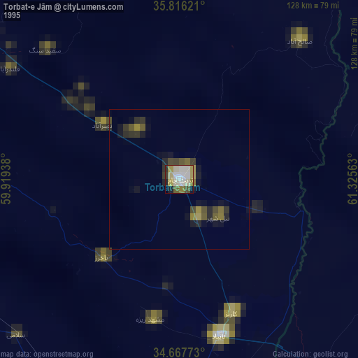
» NASA, Earths city lights 1995
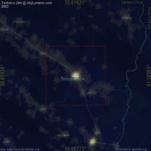
» NASA city lights 2003
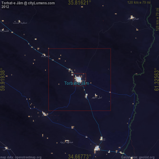
» Earth at Night: Flat Maps 2012, 2016