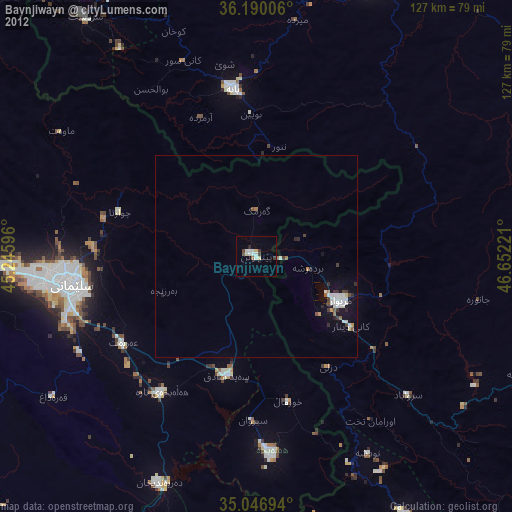
Baynjiwayn night lights from space
Night Light of Baynjiwayn (Sulaymaniyah) from space (Iraq) Src. Average luminocity for 10x10km area is 13.6364% and for 50x50km: 2.8972%.
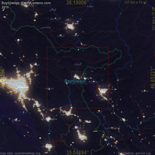
Analysis of Baynjiwayn night lights 2016
Square area 10x10 km:
 1.92%
1.92%90-99
3.32%80-89
0.35%70-79
0.7%60-69
0.7%50-59
2.1%40-49
2.62%30-39
2.27%20-29
0.7%10-19
3.15%0-9
82.17%Square area 50x50 km:
0.3%90-99
0.68%80-89
0.29%70-79
0.18%60-69
0.18%50-59
0.32%40-49
0.55%30-39
0.43%20-29
0.37%10-19
2.27%0-9
94.43%Clear (daylight) street map image can be seen on geolist.org.
Map coordinates:
36° 11' 24.2" North, 45° 14' 45.5" East
35° 37' 13.9" North, 45° 56' 56.7" East
35° 2' 49" North, 46° 39' 8" East
Some cities around Baynjiwayn sort by population:
• As Sulaymānīyah
47.1 km =29.3 mi,  262°
262°
• Sanandaj, IR
101 km =62.8 mi,  109°
109°
• Saqqez, IR
75.8 km =47.1 mi,  22°
22°
• Bāneh, IR
42.3 km =26.3 mi,  352°
352°
• Marīvān, IR
24 km =14.9 mi,  118°
118°
• Jamjamāl
101.3 km =62.9 mi, 264°
• Ḩalabjah
49.3 km =30.6 mi,  176°
176°
• Pāveh, IR
74.1 km =46 mi,  150°
150°
98012 (p: 27,116)
Sources (retrieved 2019-11-25):
» Earth at Night: Flat Maps 2012, 2016