Marīvān night lights from space
Night Light of Marīvān (Kordestān) from space (Iran) Src. Average luminocity for 10x10km area is 37.0495% and for 50x50km: 3.7118%.
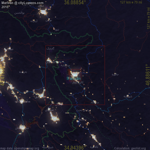
Analysis of Marīvān night lights 2016
Square area 10x10 km:
 5.86%
5.86%90-99
10.44%80-89
2.93%70-79
3.48%60-69
2.56%50-59
3.3%40-49
5.86%30-39
5.13%20-29
5.13%10-19
46.15%0-9
9.16%Square area 50x50 km:
0.33%90-99
0.79%80-89
0.3%70-79
0.4%60-69
0.24%50-59
0.39%40-49
0.75%30-39
0.7%20-29
0.61%10-19
2.5%0-9
93%Clear (daylight) street map image can be seen on geolist.org.
Map coordinates:
36° 5' 18.7" North, 45° 28' 47.5" East
35° 31' 5.8" North, 46° 10' 58.7" East
34° 56' 38.3" North, 46° 53' 10" East
Some cities around Marīvān sort by population:
• As Sulaymānīyah, IQ
68.1 km =42.3 mi,  274°
274°
• Sanandaj
77.3 km =48 mi,  107°
107°
• Saqqez
81.8 km =50.8 mi,  5°
5°
• Bāneh
59.7 km =37.1 mi,  333°
333°
• Ḩalabjah, IQ
41.9 km =26 mi,  205°
205°
• Javānrūd
85.9 km =53.4 mi,  159°
159°
• Baynjiwayn, IQ
24 km =14.9 mi,  298°
298°
• Pāveh
55.1 km =34.2 mi, 163°
124778 (p: 91,664)
Sources (retrieved 2019-11-25):
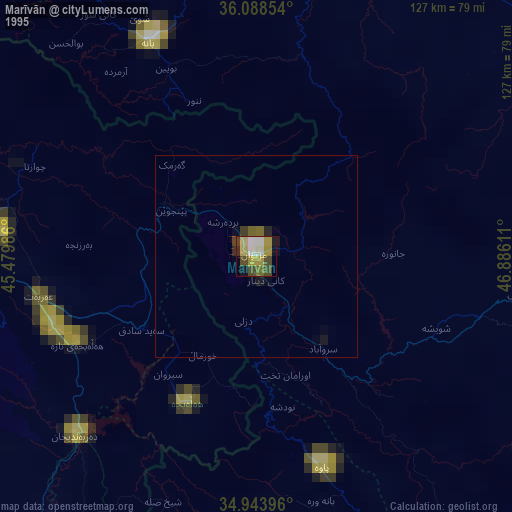
» NASA, Earths city lights 1995
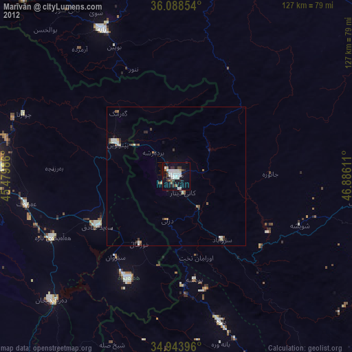
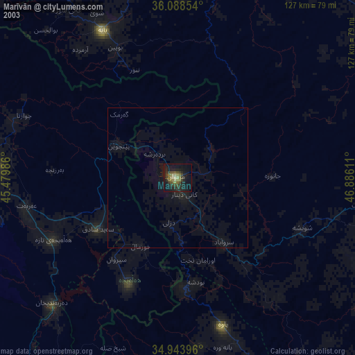
» NASA city lights 2003
» Earth at Night: Flat Maps 2012, 2016