Fūman night lights from space
Night Light of Fūman (Gīlān) from space (Iran) Src. Average luminocity for 10x10km area is 35.2347% and for 50x50km: 12.2982%.
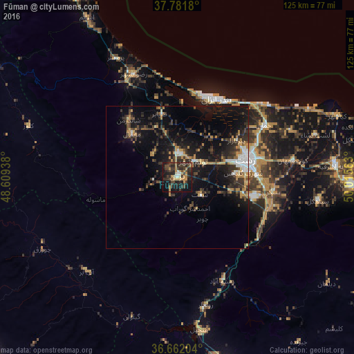
Analysis of Fūman night lights 2016
Square area 10x10 km:
 1.36%
1.36%90-99
3.06%80-89
1.02%70-79
13.1%60-69
2.89%50-59
0.68%40-49
10.2%30-39
14.8%20-29
18.37%10-19
27.04%0-9
7.48%Square area 50x50 km:
0.98%90-99
1.13%80-89
0.74%70-79
2.68%60-69
1.3%50-59
0.59%40-49
2.27%30-39
3.94%20-29
4.84%10-19
11.87%0-9
69.65%Clear (daylight) street map image can be seen on geolist.org.
Map coordinates:
37° 46' 54.5" North, 48° 36' 33.8" East
37° 13' 26.4" North, 49° 18' 45" East
36° 39' 43.3" North, 50° 0' 56.3" East
Some cities around Fūman sort by population:
• Rasht
25.1 km =15.6 mi,  76°
76°
• Bandar-e Anzalī
30.5 km =19 mi,  24°
24°
• Langarūd
74.5 km =46.3 mi,  92°
92°
• Khalkhāl
81.9 km =50.9 mi,  302°
302°
• Rūdsar
87.3 km =54.2 mi,  96°
96°
• Hashtpar
73.1 km =45.4 mi,  330°
330°
• Āstāneh-ye Ashrafīyeh
56 km =34.8 mi, 85°
• Pādegān-e Manjīl
54.4 km =33.8 mi,  170°
170°
134441 (p: 27,763)
Sources (retrieved 2019-11-25):
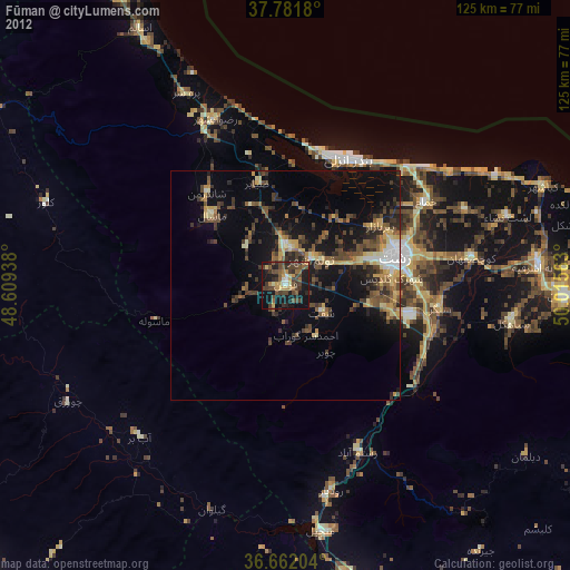
» Earth at Night: Flat Maps 2012, 2016