Aleshtar night lights from space
Night Light of Aleshtar (Lorestān) from space (Iran) Src. Average luminocity for 10x10km area is 19.1171% and for 50x50km: 2.2917%.
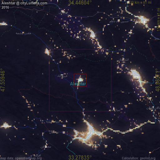
Analysis of Aleshtar night lights 2016
Square area 10x10 km:
 2.97%
2.97%90-99
4.02%80-89
0.7%70-79
2.1%60-69
1.22%50-59
2.45%40-49
2.45%30-39
3.15%20-29
3.85%10-19
12.76%0-9
64.34%Square area 50x50 km:
0.12%90-99
0.24%80-89
0.11%70-79
0.26%60-69
0.23%50-59
0.41%40-49
0.71%30-39
0.66%20-29
0.5%10-19
0.9%0-9
95.86%Clear (daylight) street map image can be seen on geolist.org.
Map coordinates:
34° 26' 45.7" North, 47° 33' 34.1" East
33° 51' 51.1" North, 48° 15' 45.3" East
33° 16' 42.1" North, 48° 57' 56.6" East
Some cities around Aleshtar sort by population:
• Khorramabad
42.7 km =26.5 mi,  168°
168°
• Borūjerd
45.3 km =28.1 mi,  85°
85°
• Malāyer
70.8 km =44 mi,  46°
46°
• Kūhdasht
70.7 km =43.9 mi,  238°
238°
• Nahāvand
37.8 km =23.5 mi,  15°
15°
• Nūrābād
35.4 km =22 mi,  311°
311°
• Kangāvar
76.2 km =47.3 mi,  338°
338°
• Aznā
68 km =42.3 mi,  114°
114°
144269 (p: 27,701)
Sources (retrieved 2019-11-25):
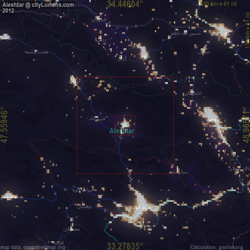
» Earth at Night: Flat Maps 2012, 2016