Borūjerd night lights from space
Night Light of Borūjerd (Lorestān) from space (Iran) Src. Average luminocity for 10x10km area is 61.4266% and for 50x50km: 7.3553%.
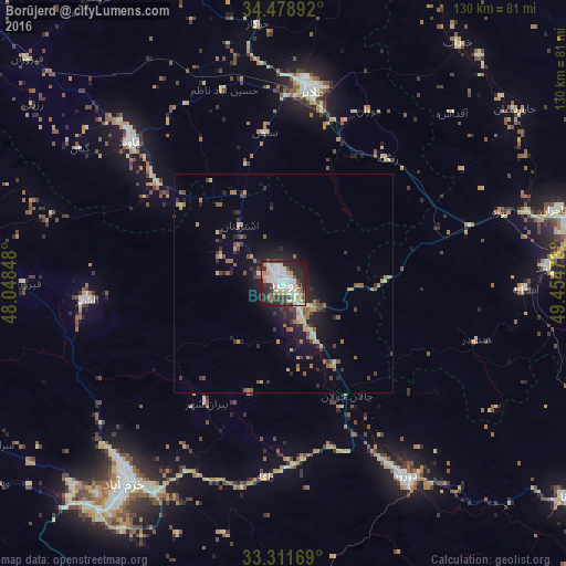
Analysis of Borūjerd night lights 2016
Square area 10x10 km:
 14.69%
90-99
20.45%80-89
6.99%70-79
5.94%60-69
4.02%50-59
3.85%40-49
6.12%30-39
8.57%20-29
21.5%10-19
7.17%0-9
0.7%Square area 50x50 km:
0.67%90-99
1.09%80-89
0.77%70-79
0.98%60-69
0.91%50-59
1.08%40-49
1.03%30-39
1.56%20-29
2.34%10-19
4.67%0-9
84.91%Clear (daylight) street map image can be seen on geolist.org.
Map coordinates:
34° 28' 44.1" North, 48° 2' 54.5" East
33° 53' 50.3" North, 48° 45' 5.8" East
33° 18' 42.1" North, 49° 27' 17" East
Some cities around Borūjerd sort by population:
• Arāk
90 km =55.9 mi,  75°
75°
• Khorramabad
58.4 km =36.3 mi,  218°
218°
• Malāyer
45.4 km =28.2 mi,  8°
8°
• Nahāvand
47.7 km =29.6 mi,  313°
313°
• Nūrābād
74.5 km =46.3 mi,  285°
285°
• Kangāvar
98.9 km =61.5 mi, 313°
• Aznā
36 km =22.4 mi,  152°
152°
• Aleshtar
45.3 km =28.1 mi,  265°
265°
140044 (p: 251,958)
Sources (retrieved 2019-11-25):
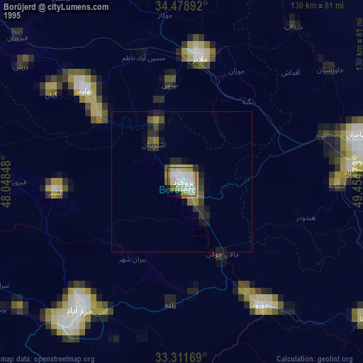
» NASA, Earths city lights 1995
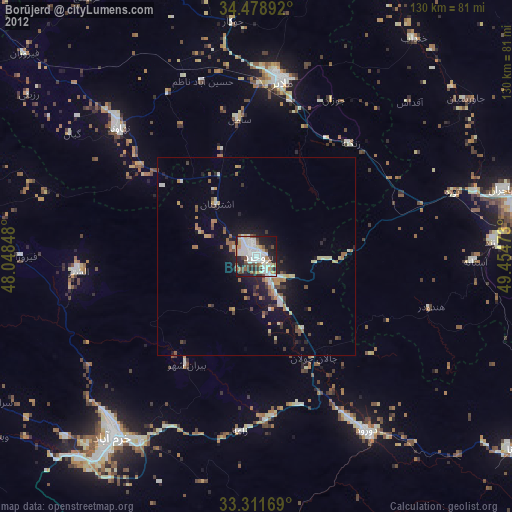
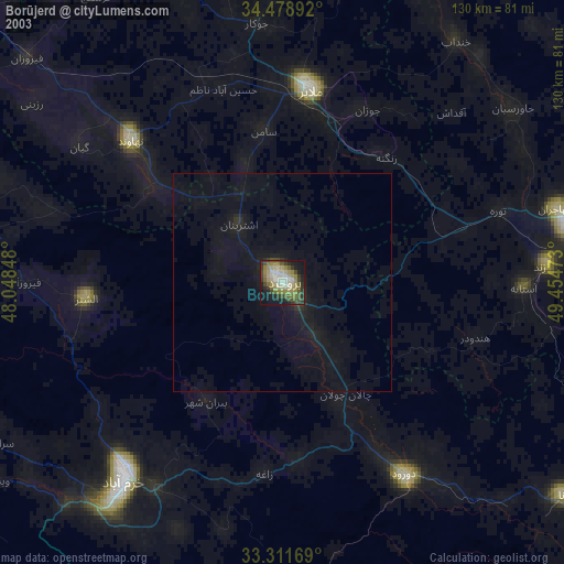
» NASA city lights 2003
» Earth at Night: Flat Maps 2012, 2016