Shahr-e Bābak night lights from space
Night Light of Shahr-e Bābak (Kerman) from space (Iran) Src. Average luminocity for 10x10km area is 39.0833% and for 50x50km: 2.3747%.
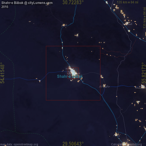
Analysis of Shahr-e Bābak night lights 2016
Square area 10x10 km:
 8.71%
8.71%90-99
13.45%80-89
2.27%70-79
0.57%60-69
2.08%50-59
3.6%40-49
2.46%30-39
3.6%20-29
8.14%10-19
46.78%0-9
8.33%Square area 50x50 km:
0.37%90-99
0.6%80-89
0.09%70-79
0.04%60-69
0.15%50-59
0.42%40-49
0.24%30-39
0.34%20-29
0.45%10-19
2.63%0-9
94.68%Clear (daylight) street map image can be seen on geolist.org.
Map coordinates:
30° 43' 22.2" North, 54° 24' 55.7" East
30° 6' 59.4" North, 55° 7' 7" East
29° 30' 23.1" North, 55° 49' 18.2" East
Some cities around Shahr-e Bābak sort by population:
• Sirjan
91.7 km =57 mi,  143°
143°
• Rafsanjān
90 km =55.9 mi,  69°
69°
• Dārāb
161.6 km =100.4 mi,  200°
200°
• Zarand
158.7 km =98.6 mi,  60°
60°
• Neyrīz
127.5 km =79.2 mi,  216°
216°
• Bardsīr
141.8 km =88.1 mi,  98°
98°
• Mahrīz
175.5 km =109.1 mi,  338°
338°
• Bāfq
167.5 km =104.1 mi,  9°
9°
115781 (p: 52,409)
Sources (retrieved 2019-11-25):
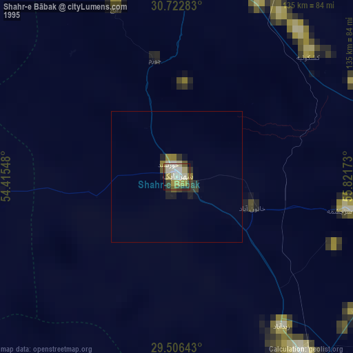
» NASA, Earths city lights 1995
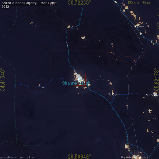
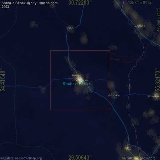
» NASA city lights 2003
» Earth at Night: Flat Maps 2012, 2016