Fannūj night lights from space
Night Light of Fannūj (Sistan and Baluchestan) from space (Iran) Src. Average luminocity for 10x10km area is 10.8864% and for 50x50km: 0.8541%.
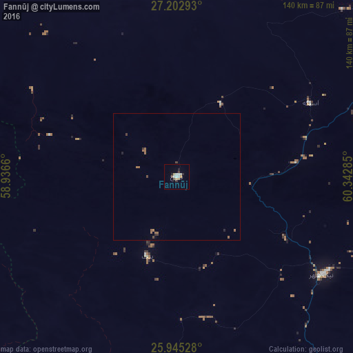
Analysis of Fannūj night lights 2016
Square area 10x10 km:
 1.7%
1.7%90-99
2.84%80-89
0.76%70-79
0.76%60-69
1.52%50-59
0.76%40-49
1.33%30-39
1.52%20-29
1.7%10-19
0%0-9
87.12%Square area 50x50 km:
0.07%90-99
0.12%80-89
0.03%70-79
0.04%60-69
0.42%50-59
0.06%40-49
0.17%30-39
0.16%20-29
0.12%10-19
0.02%0-9
98.78%Clear (daylight) street map image can be seen on geolist.org.
Map coordinates:
27° 12' 10.5" North, 58° 56' 11.8" East
26° 34' 33" North, 59° 38' 23" East
25° 56' 43" North, 60° 20' 34.3" East
Some cities around Fannūj sort by population:
• Iranshahr
124.9 km =77.6 mi,  56°
56°
• Bam
308.3 km =191.6 mi,  335°
335°
• Mīnāb
260.6 km =161.9 mi,  283°
283°
• Khāsh
240.1 km =149.2 mi,  40°
40°
• Chabahar
174.5 km =108.4 mi,  144°
144°
• Qaşr-e Qand
116.6 km =72.5 mi,  108°
108°
• Nīkshahr
69.2 km =43 mi,  124°
124°
• Jiwani, PK
270.7 km =168.2 mi,  128°
128°
134894 (p: 13,000)
Sources (retrieved 2019-11-25):
» Earth at Night: Flat Maps 2012, 2016