Nīkshahr night lights from space
Night Light of Nīkshahr (Sistan and Baluchestan) from space (Iran) Src. Average luminocity for 10x10km area is 23.379% and for 50x50km: 1.545%.
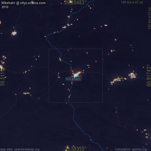
Analysis of Nīkshahr night lights 2016
Square area 10x10 km:
 4.76%
4.76%90-99
4.56%80-89
0.99%70-79
1.19%60-69
6.75%50-59
0.4%40-49
1.79%30-39
4.76%20-29
2.18%10-19
15.87%0-9
56.75%Square area 50x50 km:
0.18%90-99
0.18%80-89
0.04%70-79
0.08%60-69
0.57%50-59
0.2%40-49
0.12%30-39
0.32%20-29
0.37%10-19
0.73%0-9
97.2%Clear (daylight) street map image can be seen on geolist.org.
Map coordinates:
26° 51' 17.4" North, 59° 30' 40.2" East
26° 13' 32.9" North, 60° 12' 51.5" East
25° 35' 36.1" North, 60° 55' 2.7" East
Some cities around Nīkshahr sort by population:
• Iranshahr
118.2 km =73.4 mi,  23°
23°
• Turbat, PK
284.1 km =176.5 mi,  95°
95°
• Khāsh
242.9 km =150.9 mi, 24°
• Gwadar, PK
244.6 km =152 mi,  120°
120°
• Chabahar
112.4 km =69.8 mi,  157°
157°
• Qaşr-e Qand
53.7 km =33.4 mi,  87°
87°
• Jiwani, PK
201.7 km =125.3 mi,  130°
130°
• Fannūj
69.2 km =43 mi,  304°
304°
1160110 (p: 17,000)
Sources (retrieved 2019-11-25):
» Earth at Night: Flat Maps 2012, 2016