Qaşr-e Qand night lights from space
Night Light of Qaşr-e Qand (Sistan and Baluchestan) from space (Iran) Src. Average luminocity for 10x10km area is 16.7639% and for 50x50km: 1.8906%.
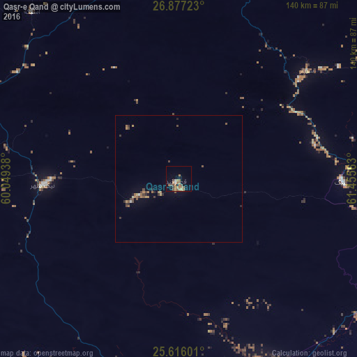
Analysis of Qaşr-e Qand night lights 2016
Square area 10x10 km:
 0.79%
0.79%90-99
0.79%80-89
1.19%70-79
1.59%60-69
9.92%50-59
3.17%40-49
2.38%30-39
1.59%20-29
0%10-19
3.37%0-9
75.2%Square area 50x50 km:
0.05%90-99
0.09%80-89
0.13%70-79
0.25%60-69
0.67%50-59
0.34%40-49
0.49%30-39
0.26%20-29
0.21%10-19
0.24%0-9
97.27%Clear (daylight) street map image can be seen on geolist.org.
Map coordinates:
26° 52' 38" North, 60° 2' 57.8" East
26° 14' 54" North, 60° 45' 9" East
25° 36' 57.6" North, 61° 27' 20.3" East
Some cities around Qaşr-e Qand sort by population:
• Iranshahr
106.3 km =66.1 mi,  356°
356°
• Turbat, PK
230.8 km =143.4 mi,  96°
96°
• Khāsh
224.1 km =139.2 mi,  11°
11°
• Gwadar, PK
201.3 km =125.1 mi,  128°
128°
• Chabahar
106.9 km =66.4 mi,  185°
185°
• Nīkshahr
53.7 km =33.4 mi,  267°
267°
• Jiwani, PK
166.5 km =103.5 mi,  143°
143°
• Fannūj
116.6 km =72.5 mi,  288°
288°
1159877 (p: 37,722)
Sources (retrieved 2019-11-25):
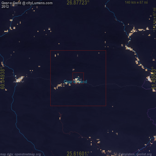
» Earth at Night: Flat Maps 2012, 2016