Khalkhāl night lights from space
Night Light of Khalkhāl (Ardabīl) from space (Iran) Src. Average luminocity for 10x10km area is 27.4201% and for 50x50km: 1.9256%.
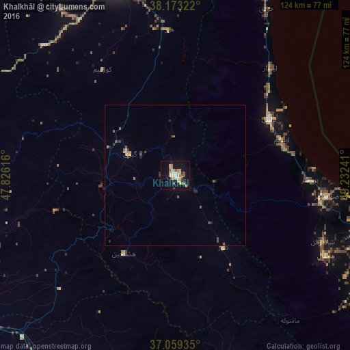

Analysis of Khalkhāl night lights 2016
Square area 10x10 km:
 3.06%
3.06%90-99
3.74%80-89
6.8%70-79
6.46%60-69
1.36%50-59
2.72%40-49
1.53%30-39
1.87%20-29
1.19%10-19
33.5%0-9
37.76%Square area 50x50 km:
0.12%90-99
0.18%80-89
0.35%70-79
0.4%60-69
0.12%50-59
0.3%40-49
0.25%30-39
0.28%20-29
0.32%10-19
1.49%0-9
96.19%Clear (daylight) street map image can be seen on geolist.org.
Map coordinates:
38° 10' 23.6" North, 47° 49' 34.2" East
37° 37' 6.1" North, 48° 31' 45.4" East
37° 3' 33.7" North, 49° 13' 56.7" East
Some cities around Khalkhāl sort by population:
• Rasht
101 km =62.8 mi,  112°
112°
• Ardabīl
73.2 km =45.5 mi,  343°
343°
• Zanjān
104.8 km =65.1 mi,  181°
181°
• Bandar-e Anzalī
83.4 km =51.8 mi,  101°
101°
• Hashtpar
38.6 km =24 mi,  59°
59°
• Āstārā
95 km =59 mi,  18°
18°
• Fūman
81.9 km =50.9 mi,  122°
122°
• Astara, AZ
97.9 km =60.8 mi, 18°
128008 (p: 51,024)
Sources (retrieved 2019-11-25):
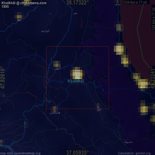
» NASA, Earths city lights 1995
» NASA city lights 2003
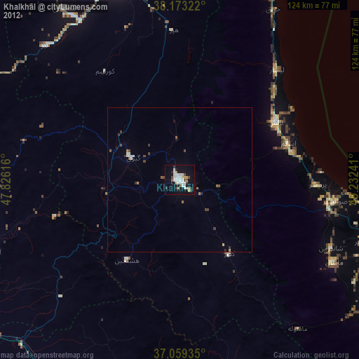
» Earth at Night: Flat Maps 2012, 2016