Zanjān night lights from space
Night Light of Zanjān (Zanjan) from space (Iran) Src. Average luminocity for 10x10km area is 78.2601% and for 50x50km: 8.7293%.
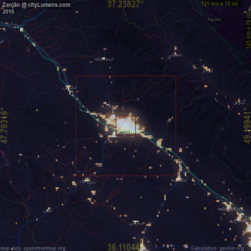
Analysis of Zanjān night lights 2016
Square area 10x10 km:
 30.22%
90-99
22.53%80-89
9.52%70-79
6.59%60-69
2.56%50-59
6.23%40-49
10.07%30-39
6.23%20-29
6.04%10-19
0%0-9
0%Square area 50x50 km:
1.37%90-99
1.2%80-89
1.25%70-79
1.26%60-69
0.61%50-59
0.9%40-49
1.79%30-39
1.28%20-29
2.59%10-19
5.11%0-9
82.64%Clear (daylight) street map image can be seen on geolist.org.
Map coordinates:
37° 14' 17.8" North, 47° 47' 35.4" East
36° 40' 35.1" North, 48° 29' 46.6" East
36° 6' 37.6" North, 49° 11' 57.9" East
Some cities around Zanjān sort by population:
• Rasht
117.7 km =73.1 mi,  55°
55°
• Alvand
72 km =44.7 mi,  123°
123°
• Abhar
87.4 km =54.3 mi,  132°
132°
• Bījār
120.4 km =74.8 mi,  221°
221°
• Khalkhāl
104.8 km =65.1 mi,  1°
1°
• Khorramdarreh
81.4 km =50.6 mi, 129°
• Fūman
94.7 km =58.8 mi,  49°
49°
• Pādegān-e Manjīl
82.3 km =51.1 mi,  84°
84°
111453 (p: 357,471)
Sources (retrieved 2019-11-25):
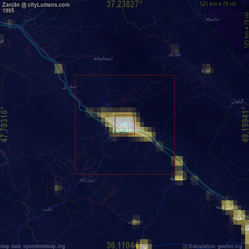
» NASA, Earths city lights 1995
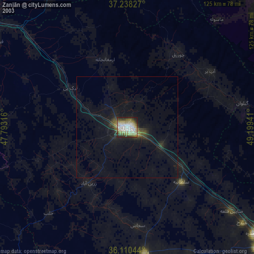
» NASA city lights 2003
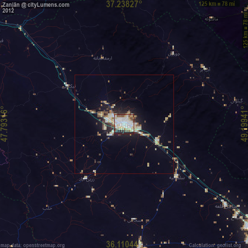
» Earth at Night: Flat Maps 2012, 2016