Ardabīl night lights from space
Night Light of Ardabīl from space (Iran) Src. Average luminocity for 10x10km area is 78.6429% and for 50x50km: 9.6964%.
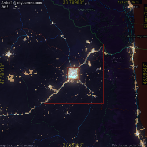
Analysis of Ardabīl night lights 2016
Square area 10x10 km:
 32.82%
90-99
20.75%80-89
7.82%70-79
7.82%60-69
3.57%50-59
4.93%40-49
10.2%30-39
7.48%20-29
4.25%10-19
0.34%0-9
0%Square area 50x50 km:
1.43%90-99
1.02%80-89
1.1%70-79
1.19%60-69
1.01%50-59
1.39%40-49
1.56%30-39
2.02%20-29
2.55%10-19
5.72%0-9
81.02%Clear (daylight) street map image can be seen on geolist.org.
Map coordinates:
38° 47' 59.6" North, 47° 35' 24.6" East
38° 14' 59.3" North, 48° 17' 35.9" East
37° 41' 43.9" North, 48° 59' 47.1" East
Some cities around Ardabīl sort by population:
• Lankaran, AZ
74.1 km =46 mi,  40°
40°
• Khalkhāl
73.2 km =45.5 mi,  163°
163°
• Hashtpar
73.6 km =45.7 mi,  133°
133°
• Āstārā
54.3 km =33.7 mi,  68°
68°
• Astara, AZ
55.7 km =34.6 mi, 65°
• Lerik, AZ
59.2 km =36.8 mi,  10°
10°
• Boradigah, AZ
83.8 km =52.1 mi,  25°
25°
• Yardımlı, AZ
73.3 km =45.5 mi,  356°
356°
143083 (p: 410,753)
Sources (retrieved 2019-11-25):
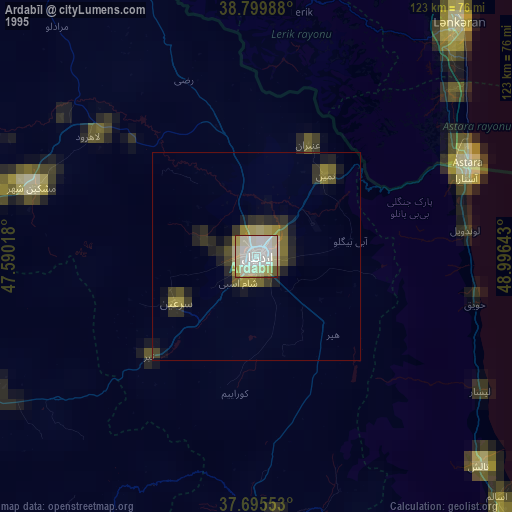
» NASA, Earths city lights 1995
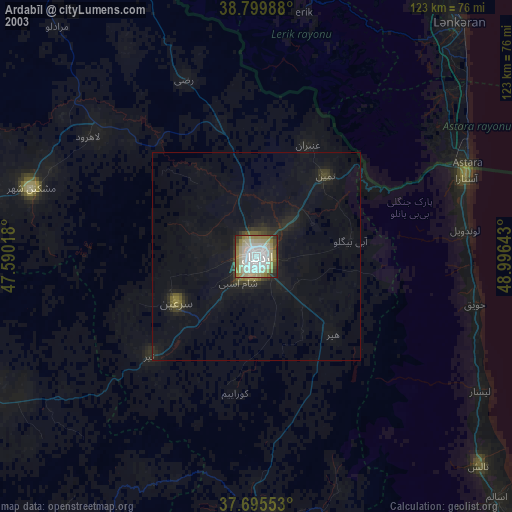
» NASA city lights 2003
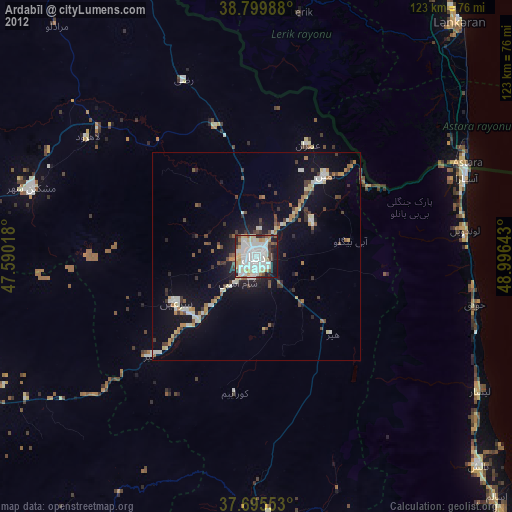
» Earth at Night: Flat Maps 2012, 2016