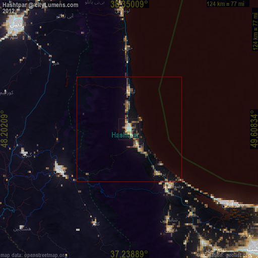
Hashtpar night lights from space
Night Light of Hashtpar (Gīlān) from space (Iran) Src. Average luminocity for 10x10km area is 23.7143% and for 50x50km: 2.8587%.
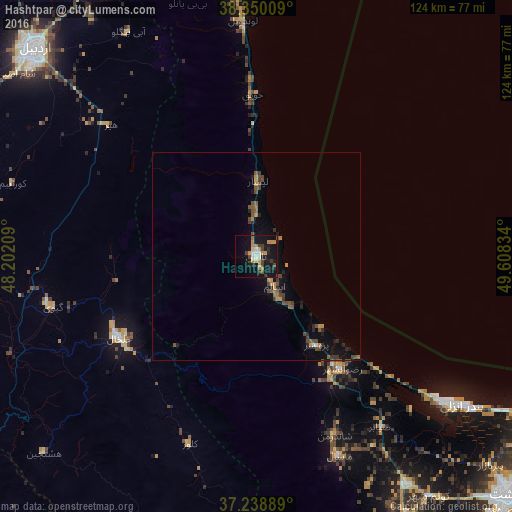
Analysis of Hashtpar night lights 2016
Square area 10x10 km:
 2.04%
2.04%90-99
2.72%80-89
1.87%70-79
5.95%60-69
4.08%50-59
1.02%40-49
3.23%30-39
4.08%20-29
3.74%10-19
32.99%0-9
38.27%Square area 50x50 km:
0.09%90-99
0.15%80-89
0.08%70-79
0.56%60-69
0.38%50-59
0.53%40-49
0.91%30-39
0.55%20-29
0.63%10-19
2.29%0-9
93.83%Clear (daylight) street map image can be seen on geolist.org.
Map coordinates:
38° 21' 0.3" North, 48° 12' 7.5" East
37° 47' 47.7" North, 48° 54' 18.8" East
37° 14' 20" North, 49° 36' 30" East
Some cities around Hashtpar sort by population:
• Rasht
83.5 km =51.9 mi,  133°
133°
• Ardabīl
73.6 km =45.7 mi,  313°
313°
• Lankaran, AZ
106.6 km =66.2 mi,  357°
357°
• Bandar-e Anzalī
60.5 km =37.6 mi, 126°
• Khalkhāl
38.6 km =24 mi,  239°
239°
• Āstārā
70.4 km =43.7 mi, 357°
• Fūman
73.1 km =45.4 mi,  150°
150°
• Astara, AZ
73.4 km =45.6 mi, 357°
113343 (p: 45,305)
Sources (retrieved 2019-11-25):
» Earth at Night: Flat Maps 2012, 2016