Astara night lights from space
Night Light of Astara from space (Azerbaijan) Src. Average luminocity for 10x10km area is 20.25% and for 50x50km: 2.2256%.
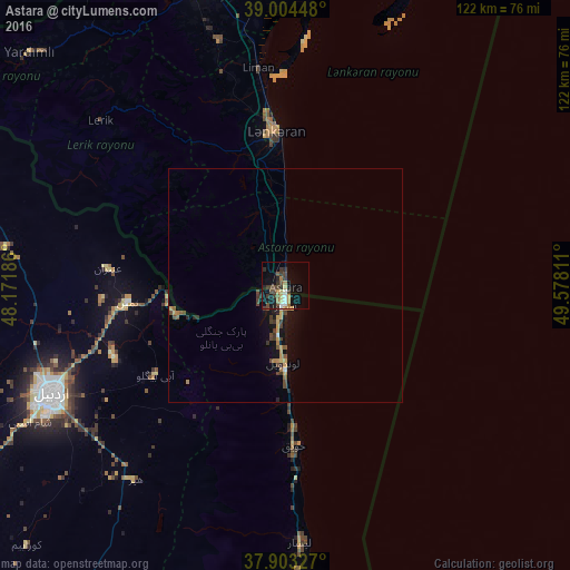
Analysis of Astara night lights 2016
Square area 10x10 km:
 2.44%
2.44%90-99
1.14%80-89
2.92%70-79
1.95%60-69
3.25%50-59
2.27%40-49
4.87%30-39
5.84%20-29
4.06%10-19
18.02%0-9
53.25%Square area 50x50 km:
0.11%90-99
0.1%80-89
0.24%70-79
0.4%60-69
0.35%50-59
0.24%40-49
0.63%30-39
0.57%20-29
0.37%10-19
1.71%0-9
95.28%Clear (daylight) street map image can be seen on geolist.org.
Map coordinates:
39° 0' 16.1" North, 48° 10' 18.7" East
38° 27' 21.5" North, 48° 52' 29.9" East
37° 54' 11.8" North, 49° 34' 41.2" East
Some cities around Astara sort by population:
• Ardabīl, IR
55.7 km =34.6 mi,  245°
245°
• Lankaran
33.2 km =20.6 mi,  356°
356°
• Hashtpar, IR
73.4 km =45.6 mi,  177°
177°
• Prishibinskoye
77.7 km =48.3 mi,  341°
341°
• Masally
66.9 km =41.6 mi, 344°
• Lerik
53.4 km =33.2 mi,  311°
311°
• Boradigah
54.6 km =33.9 mi, 344°
• Yardımlı
74.5 km =46.3 mi, 312°
148445 (p: 15,190)
Sources (retrieved 2019-11-25):
» Earth at Night: Flat Maps 2012, 2016