Āstārā night lights from space
Night Light of Āstārā (Gīlān) from space (Iran) Src. Average luminocity for 10x10km area is 24.6981% and for 50x50km: 2.2703%.

Analysis of Āstārā night lights 2016
Square area 10x10 km:
 2.44%
2.44%90-99
1.46%80-89
4.55%70-79
3.08%60-69
3.73%50-59
1.95%40-49
5.52%30-39
6.98%20-29
3.57%10-19
28.57%0-9
38.15%Square area 50x50 km:
0.11%90-99
0.1%80-89
0.24%70-79
0.4%60-69
0.35%50-59
0.24%40-49
0.67%30-39
0.58%20-29
0.42%10-19
1.71%0-9
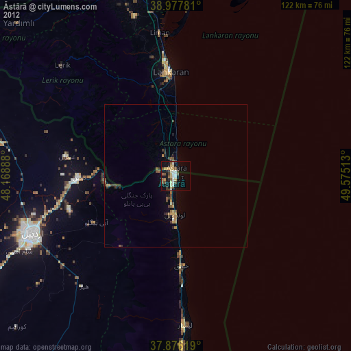
95.17%Clear (daylight) street map image can be seen on geolist.org.
Map coordinates:
38° 58' 40.1" North, 48° 10' 8" East
38° 25' 44.8" North, 48° 52' 19.2" East
37° 52' 34.3" North, 49° 34' 30.5" East
Some cities around Āstārā sort by population:
• Ardabīl
54.3 km =33.7 mi,  248°
248°
• Lankaran, AZ
36.2 km =22.5 mi,  357°
357°
• Hashtpar
70.4 km =43.7 mi,  177°
177°
• Prishibinskoye, AZ
80.5 km =50 mi,  342°
342°
• Masally, AZ
69.7 km =43.3 mi,  345°
345°
• Lerik, AZ
55.2 km =34.3 mi,  313°
313°
• Boradigah, AZ
57.5 km =35.7 mi, 345°
• Yardımlı, AZ
76.4 km =47.5 mi, 314°
142676 (p: 39,065)
Sources (retrieved 2019-11-25):
» Earth at Night: Flat Maps 2012, 2016