Lankaran night lights from space
Night Light of Lankaran (Lənkəran) from space (Azerbaijan) Src. Average luminocity for 10x10km area is 13.3878% and for 50x50km: 1.2317%.
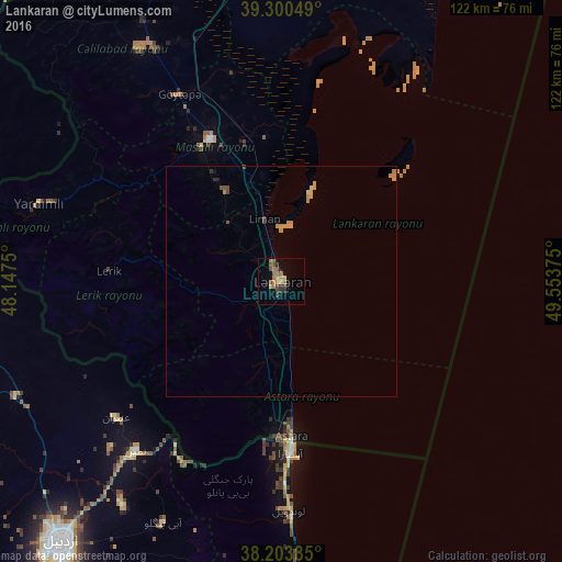
Analysis of Lankaran night lights 2016
Square area 10x10 km:
 0%
0%90-99
0%80-89
0%70-79
2.72%60-69
6.12%50-59
3.91%40-49
2.55%30-39
3.06%20-29
1.36%10-19
0.34%0-9
79.93%Square area 50x50 km:
0%90-99
0%80-89
0.07%70-79
0.51%60-69
0.34%50-59
0.17%40-49
0.24%30-39
0.17%20-29
0.14%10-19
0.07%0-9
98.29%Clear (daylight) street map image can be seen on geolist.org.
Map coordinates:
39° 18' 1.8" North, 48° 8' 51" East
38° 45' 15.4" North, 48° 51' 2.2" East
38° 12' 13.9" North, 49° 33' 13.5" East
Some cities around Lankaran sort by population:
• Āstārā, IR
36.2 km =22.5 mi,  177°
177°
• Jalilabad
59.4 km =36.9 mi,  328°
328°
• Astara
33.2 km =20.6 mi, 176°
• Prishibinskoye
46.3 km =28.8 mi, 331°
• Masally
35.1 km =21.8 mi, 332°
• Lerik
37.8 km =23.5 mi,  273°
273°
• Boradigah
23.1 km =14.4 mi, 327°
• Yardımlı
55.5 km =34.5 mi,  287°
287°
147622 (p: 240,300)
Sources (retrieved 2019-11-25):
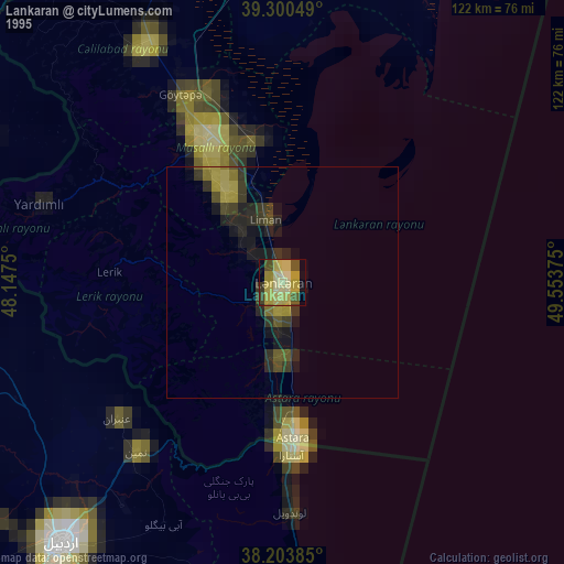
» NASA, Earths city lights 1995
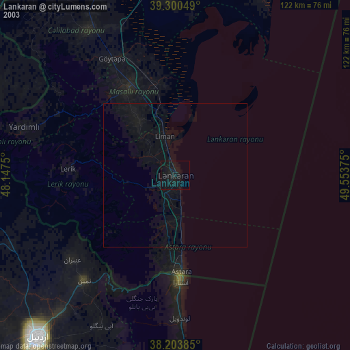
» NASA city lights 2003
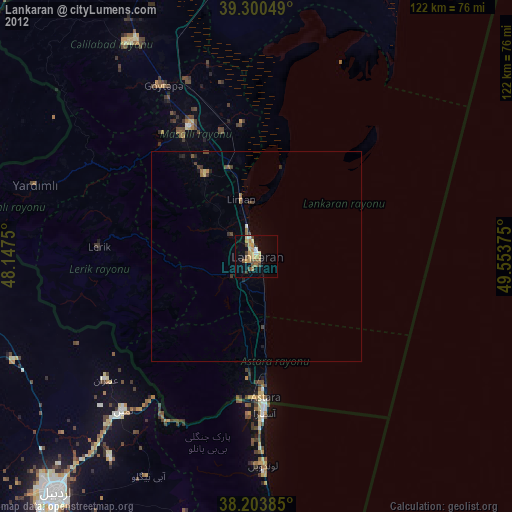
» Earth at Night: Flat Maps 2012, 2016