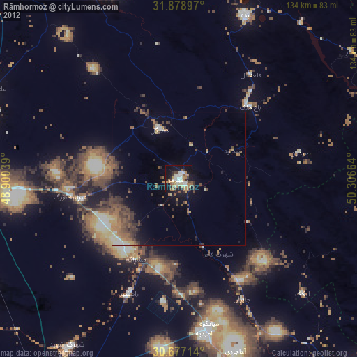
Rāmhormoz night lights from space
Night Light of Rāmhormoz (Khuzestan) from space (Iran) Src. Average luminocity for 10x10km area is 51.8899% and for 50x50km: 14.3802%.
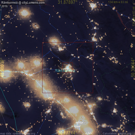
Analysis of Rāmhormoz night lights 2016
Square area 10x10 km:
 9.27%
9.27%90-99
9.27%80-89
7.34%70-79
7.69%60-69
11.89%50-59
4.37%40-49
7.17%30-39
4.55%20-29
16.08%10-19
20.45%0-9
1.92%Square area 50x50 km:
0.83%90-99
1.51%80-89
1.75%70-79
1.74%60-69
2.54%50-59
3.02%40-49
3.02%30-39
3.5%20-29
4.9%10-19
8.08%0-9
69.11%Clear (daylight) street map image can be seen on geolist.org.
Map coordinates:
31° 52' 44.3" North, 48° 54' 1.4" East
31° 16' 47.9" North, 49° 36' 12.6" East
30° 40' 37.7" North, 50° 18' 23.9" East
Some cities around Rāmhormoz sort by population:
• Ahvaz
87.4 km =54.3 mi,  272°
272°
• Masjed Soleymān
78.3 km =48.7 mi,  338°
338°
• Behbahān
97.4 km =60.5 mi,  141°
141°
• Shūshtar
111.5 km =69.3 mi,  320°
320°
• Dehdasht
106.3 km =66.1 mi,  120°
120°
• Omīdīyeh
58.3 km =36.2 mi,  170°
170°
• Aghajari
68 km =42.3 mi,  161°
161°
• Rāmshīr
46.9 km =29.1 mi,  203°
203°
118826 (p: 38,821)
Sources (retrieved 2019-11-25):
» Earth at Night: Flat Maps 2012, 2016