Omīdīyeh night lights from space
Night Light of Omīdīyeh (Khuzestan) from space (Iran) Src. Average luminocity for 10x10km area is 80.9248% and for 50x50km: 41.1701%.
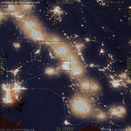
Analysis of Omīdīyeh night lights 2016
Square area 10x10 km:
 21.85%
90-99
23.78%80-89
13.29%70-79
11.89%60-69
9.79%50-59
11.01%40-49
6.64%30-39
1.57%20-29
0.17%10-19
0%0-9
0%Square area 50x50 km:
3.15%90-99
6.14%80-89
6.3%70-79
8.64%60-69
8.28%50-59
8.81%40-49
8.62%30-39
7.89%20-29
6.96%10-19
10.09%0-9
25.12%Clear (daylight) street map image can be seen on geolist.org.
Map coordinates:
31° 21' 54.2" North, 48° 59' 56.9" East
30° 45' 46" North, 49° 42' 8.1" East
30° 9' 24.1" North, 50° 24' 19.4" East
Some cities around Omīdīyeh sort by population:
• Ahvaz
115 km =71.5 mi,  302°
302°
• Dogonbadan
114.1 km =70.9 mi,  113°
113°
• Behbahān
54.8 km =34.1 mi, 109°
• Dehdasht
82.5 km =51.3 mi,  87°
87°
• Rāmhormoz
58.3 km =36.2 mi,  350°
350°
• Shādegān
100 km =62.1 mi,  262°
262°
• Aghajari
14.2 km =8.8 mi,  119°
119°
• Rāmshīr
31.6 km =19.6 mi, 297°
121861 (p: 46,983)
Sources (retrieved 2019-11-25):
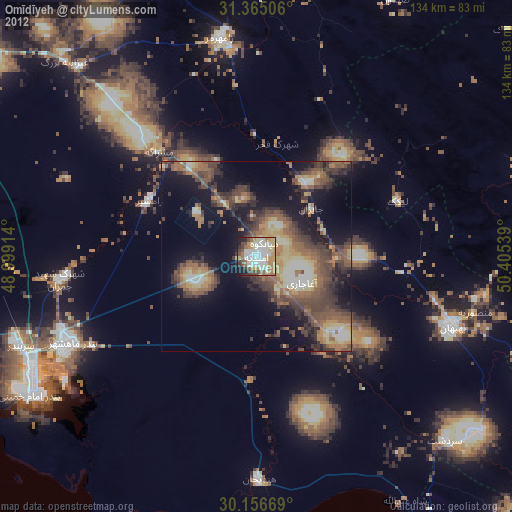
» Earth at Night: Flat Maps 2012, 2016