Ardakān night lights from space
Night Light of Ardakān (Yazd) from space (Iran) Src. Average luminocity for 10x10km area is 57.3077% and for 50x50km: 8.6622%.
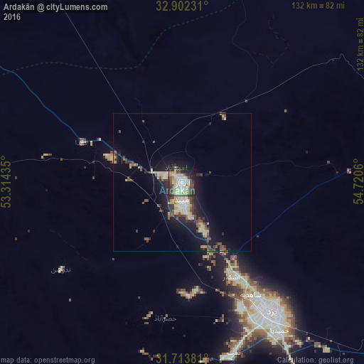
Analysis of Ardakān night lights 2016
Square area 10x10 km:
 9.89%
9.89%90-99
10.62%80-89
18.68%70-79
3.85%60-69
2.38%50-59
5.68%40-49
11.17%30-39
10.62%20-29
13.74%10-19
11.72%0-9
1.65%Square area 50x50 km:
0.77%90-99
0.88%80-89
2.39%70-79
0.85%60-69
0.22%50-59
1.29%40-49
1.75%30-39
1.56%20-29
2.45%10-19
6.7%0-9
81.15%Clear (daylight) street map image can be seen on geolist.org.
Map coordinates:
32° 54' 8.3" North, 53° 18' 51.7" East
32° 18' 36" North, 54° 1' 2.9" East
31° 42' 49.7" North, 54° 43' 14.2" East
Some cities around Ardakān sort by population:
• Isfahan
223 km =138.6 mi,  279°
279°
• Yazd
56.5 km =35.1 mi,  144°
144°
• Ābādeh
181.8 km =113 mi,  225°
225°
• Meybod
6.7 km =4.2 mi,  180°
180°
• Mahrīz
90.1 km =56 mi,  153°
153°
• Bāfq
152.5 km =94.8 mi,  121°
121°
• Taft
65.3 km =40.6 mi,  164°
164°
• Ardestān
194.3 km =120.7 mi,  307°
307°
143073 (p: 58,834)
Sources (retrieved 2019-11-25):
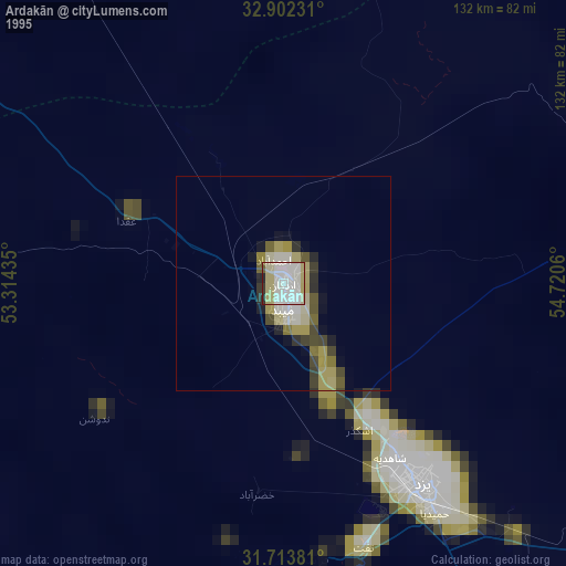
» NASA, Earths city lights 1995
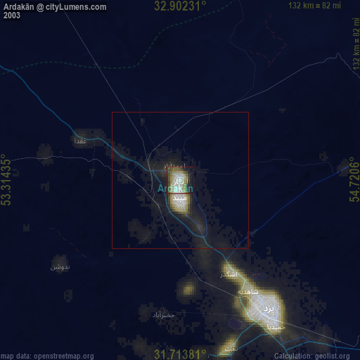
» NASA city lights 2003
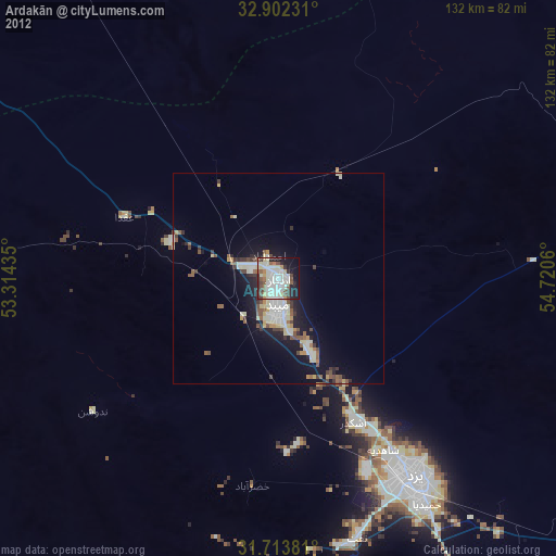
» Earth at Night: Flat Maps 2012, 2016