Ardestān night lights from space
Night Light of Ardestān (Isfahan) from space (Iran) Src. Average luminocity for 10x10km area is 26.0647% and for 50x50km: 2.7058%.
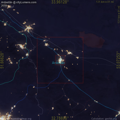
Analysis of Ardestān night lights 2016
Square area 10x10 km:
 4.02%
4.02%90-99
4.37%80-89
4.2%70-79
2.97%60-69
0.7%50-59
4.02%40-49
2.97%30-39
2.62%20-29
3.5%10-19
29.72%0-9
40.91%Square area 50x50 km:
0.22%90-99
0.26%80-89
0.43%70-79
0.45%60-69
0.19%50-59
0.37%40-49
0.43%30-39
0.55%20-29
0.34%10-19
1.44%0-9
95.32%Clear (daylight) street map image can be seen on geolist.org.
Map coordinates:
33° 57' 40.6" North, 51° 39' 58.6" East
33° 22' 34" North, 52° 22' 9.8" East
32° 47' 13.1" North, 53° 4' 21.1" East
Some cities around Ardestān sort by population:
• Isfahan
103.3 km =64.2 mi,  218°
218°
• Khomeynī Shahr
109.2 km =67.9 mi,  225°
225°
• Falāvarjān
121.5 km =75.5 mi, 221°
• Rehnān
105.2 km =65.4 mi, 222°
• Dorcheh Pīāz
113.6 km =70.6 mi, 221°
• Kelīshād va Sūdarjān
120.7 km =75 mi, 220°
• Dowlatābād
89.7 km =55.7 mi, 224°
• Abrīsham
117.6 km =73.1 mi, 219°
143052 (p: 16,058)
Sources (retrieved 2019-11-25):
» Earth at Night: Flat Maps 2012, 2016