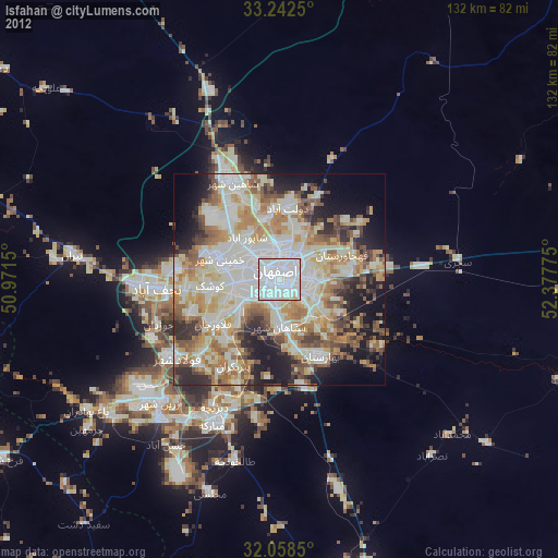
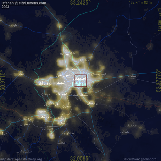
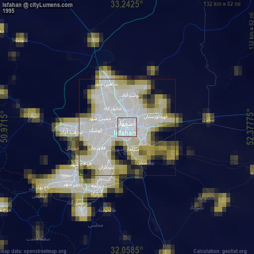
Isfahan night lights from space
Night Light of Isfahan from space (Iran) Src. Average luminocity for 10x10km area is 99.3129% and for 50x50km: 62.0809%.
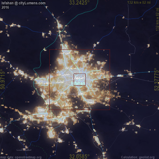
Analysis of Isfahan night lights 2016
Square area 10x10 km:
 81.64%
90-99
15.56%80-89
2.8%70-79
0%60-69
0%50-59
0%40-49
0%30-39
0%20-29
0%10-19
0%0-9
0%Square area 50x50 km:
12.41%90-99
13.98%80-89
13.67%70-79
8.62%60-69
8.97%50-59
7.65%40-49
6.81%30-39
6.68%20-29
7.2%10-19
6.24%0-9
7.77%Clear (daylight) street map image can be seen on geolist.org.
Map coordinates:
33° 14' 33" North, 50° 58' 17.4" East
32° 39' 8.9" North, 51° 40' 28.6" East
32° 3' 30.6" North, 52° 22' 39.9" East
Some cities around Isfahan sort by population:
• Khomeynī Shahr
13.5 km =8.4 mi,  285°
285°
• Falāvarjān
18.8 km =11.7 mi,  235°
235°
• Rehnān
7.6 km =4.7 mi,  296°
296°
• Dorcheh Pīāz
11.9 km =7.4 mi,  249°
249°
• Kelīshād va Sūdarjān
17.8 km =11.1 mi,  230°
230°
• Dowlatābād
16.5 km =10.3 mi,  6°
6°
• Qahderījān
22.2 km =13.8 mi, 247°
• Abrīsham
14.3 km =8.9 mi,  221°
221°
418863 (p: 1,547,164)
Sources (retrieved 2019-11-25):
» NASA, Earths city lights 1995
» NASA city lights 2003
» Earth at Night: Flat Maps 2012, 2016