Bāfq night lights from space
Night Light of Bāfq (Yazd) from space (Iran) Src. Average luminocity for 10x10km area is 43.1575% and for 50x50km: 3.4897%.
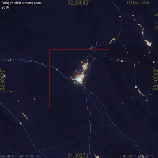
Analysis of Bāfq night lights 2016
Square area 10x10 km:
 6.59%
6.59%90-99
11.54%80-89
4.03%70-79
5.68%60-69
4.03%50-59
6.04%40-49
4.4%30-39
7.14%20-29
7.88%10-19
36.26%0-9
6.41%Square area 50x50 km:
0.27%90-99
0.67%80-89
0.39%70-79
0.47%60-69
0.26%50-59
0.5%40-49
0.55%30-39
0.44%20-29
0.73%10-19
4.01%0-9
91.71%Clear (daylight) street map image can be seen on geolist.org.
Map coordinates:
32° 12' 1.5" North, 54° 41' 57.7" East
31° 36' 12.6" North, 55° 24' 9" East
31° 0' 9.8" North, 56° 6' 20.2" East
Some cities around Bāfq sort by population:
• Yazd
103.2 km =64.1 mi,  288°
288°
• Rafsanjān
144.5 km =89.8 mi,  157°
157°
• Zarand
141.2 km =87.7 mi,  128°
128°
• Meybod
149.2 km =92.7 mi,  298°
298°
• Rāvar
138.3 km =85.9 mi,  105°
105°
• Mahrīz
90.9 km =56.5 mi,  268°
268°
• Taft
114.6 km =71.2 mi,  277°
277°
• Shahrak-e Pābedānā
108 km =67.1 mi,  118°
118°
142255 (p: 31,215)
Sources (retrieved 2019-11-25):
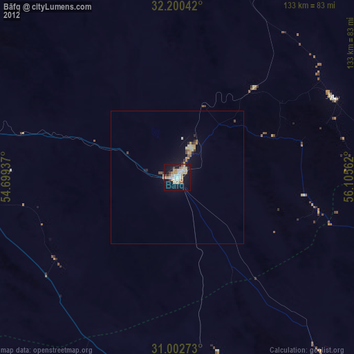
» Earth at Night: Flat Maps 2012, 2016