Alvand night lights from space
Night Light of Alvand (Zanjan) from space (Iran) Src. Average luminocity for 10x10km area is 7.8934% and for 50x50km: 5.9894%.
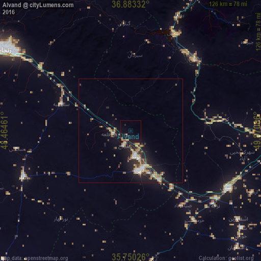
Analysis of Alvand night lights 2016
Square area 10x10 km:
 0.35%
0.35%90-99
0.35%80-89
1.05%70-79
1.75%60-69
0.7%50-59
0.35%40-49
1.05%30-39
0%20-29
2.27%10-19
10.31%0-9
81.82%Square area 50x50 km:
0.7%90-99
0.54%80-89
0.63%70-79
1.42%60-69
0.45%50-59
0.57%40-49
1.13%30-39
0.95%20-29
1.69%10-19
5.5%0-9
86.42%Clear (daylight) street map image can be seen on geolist.org.
Map coordinates:
36° 52' 60" North, 48° 27' 52.6" East
36° 19' 7.9" North, 49° 10' 3.8" East
35° 45' 0.9" North, 49° 52' 15.1" East
Some cities around Alvand sort by population:
• Rasht
112.8 km =70.1 mi,  19°
19°
• Zanjān
72 km =44.7 mi,  303°
303°
• Qazvin
75.2 km =46.7 mi,  94°
94°
• Tākestān
54.8 km =34.1 mi,  120°
120°
• Abhar
19.7 km =12.2 mi,  166°
166°
• Khorramdarreh
12.6 km =7.8 mi, 168°
• Fūman
101.5 km =63.1 mi,  7°
7°
• Pādegān-e Manjīl
52 km =32.3 mi,  25°
25°
143748 (p: 74,889)
Sources (retrieved 2019-11-25):
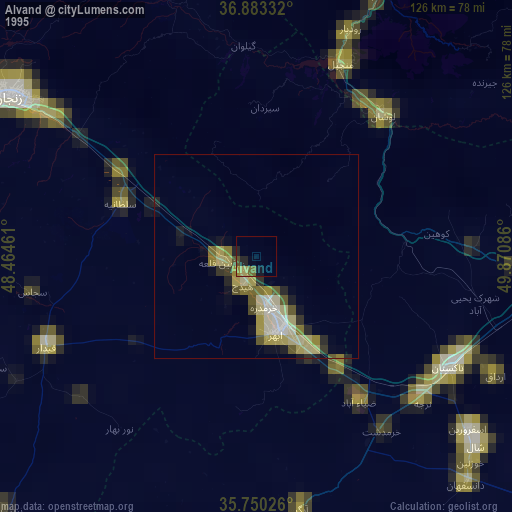
» NASA, Earths city lights 1995
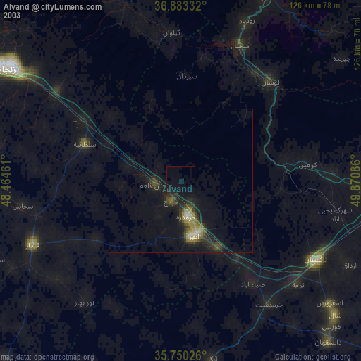
» NASA city lights 2003
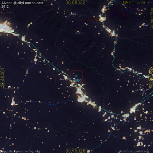
» Earth at Night: Flat Maps 2012, 2016