Abhar night lights from space
Night Light of Abhar (Zanjan) from space (Iran) Src. Average luminocity for 10x10km area is 43.9469% and for 50x50km: 7.2604%.
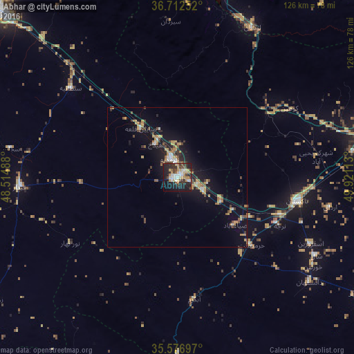
Analysis of Abhar night lights 2016
Square area 10x10 km:
 8.24%
8.24%90-99
6.23%80-89
4.03%70-79
10.99%60-69
3.48%50-59
2.75%40-49
6.96%30-39
8.79%20-29
16.85%10-19
26.74%0-9
4.95%Square area 50x50 km:
0.75%90-99
0.56%80-89
0.74%70-79
1.77%60-69
0.65%50-59
0.65%40-49
1.37%30-39
1.09%20-29
1.71%10-19
6.59%0-9
84.12%Clear (daylight) street map image can be seen on geolist.org.
Map coordinates:
36° 42' 45.1" North, 48° 30' 53.6" East
36° 8' 48.5" North, 49° 13' 4.8" East
35° 34' 37.1" North, 49° 55' 16.1" East
Some cities around Abhar sort by population:
• Zanjān
87.4 km =54.3 mi,  312°
312°
• Qazvin
71.8 km =44.6 mi,  79°
79°
• Alvand
76.1 km =47.3 mi,  86°
86°
• Alvand
19.7 km =12.2 mi,  346°
346°
• Tākestān
43.7 km =27.2 mi,  101°
101°
• Ābyek
120 km =74.6 mi, 94°
• Khorramdarreh
7.1 km =4.4 mi,  343°
343°
• Pādegān-e Manjīl
68.5 km =42.6 mi,  15°
15°
145034 (p: 69,889)
Sources (retrieved 2019-11-25):
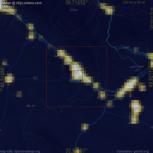
» NASA, Earths city lights 1995
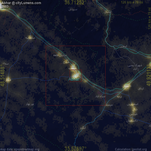
» NASA city lights 2003
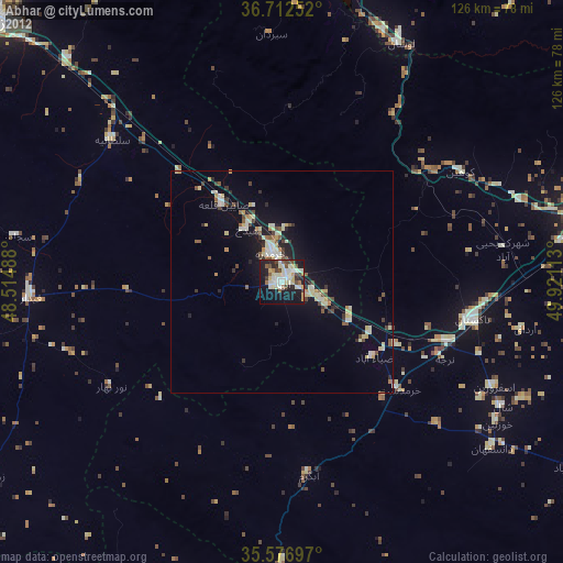
» Earth at Night: Flat Maps 2012, 2016