Tākestān night lights from space
Night Light of Tākestān (Qazvīn) from space (Iran) Src. Average luminocity for 10x10km area is 34.7527% and for 50x50km: 9.8617%.
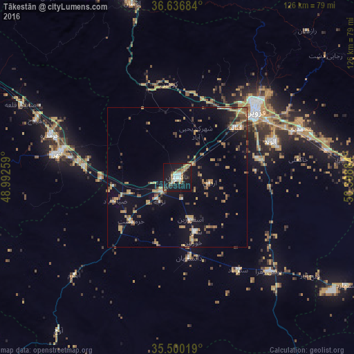
Analysis of Tākestān night lights 2016
Square area 10x10 km:
 6.41%
6.41%90-99
3.66%80-89
3.11%70-79
9.52%60-69
1.65%50-59
2.93%40-49
4.76%30-39
3.66%20-29
3.48%10-19
51.47%0-9
9.34%Square area 50x50 km:
0.57%90-99
0.58%80-89
0.66%70-79
2.84%60-69
1.32%50-59
1.44%40-49
1.62%30-39
1.36%20-29
1.2%10-19
8.3%0-9
80.1%Clear (daylight) street map image can be seen on geolist.org.
Map coordinates:
36° 38' 12.6" North, 48° 59' 33.3" East
36° 4' 14.1" North, 49° 41' 44.6" East
35° 30' 0.7" North, 50° 23' 55.8" East
Some cities around Tākestān sort by population:
• Qazvin
35.4 km =22 mi,  51°
51°
• Naz̧arābād
82.9 km =51.5 mi,  98°
98°
• Alvand
35.6 km =22.1 mi,  68°
68°
• Alvand
54.8 km =34.1 mi,  300°
300°
• Abhar
43.7 km =27.2 mi,  281°
281°
• Ābyek
76.8 km =47.7 mi,  90°
90°
• Khorramdarreh
47.5 km =29.5 mi,  288°
288°
• Pādegān-e Manjīl
78.7 km =48.9 mi,  341°
341°
113491 (p: 71,499)
Sources (retrieved 2019-11-25):
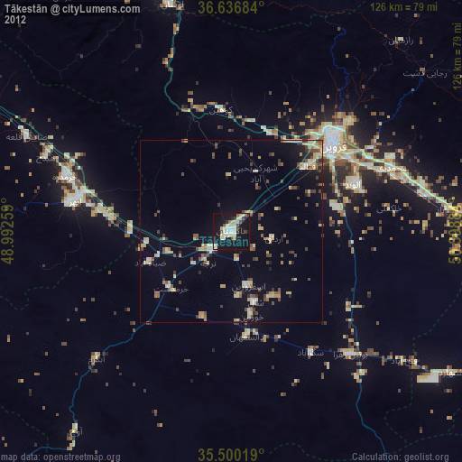
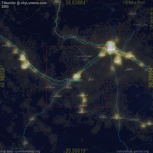
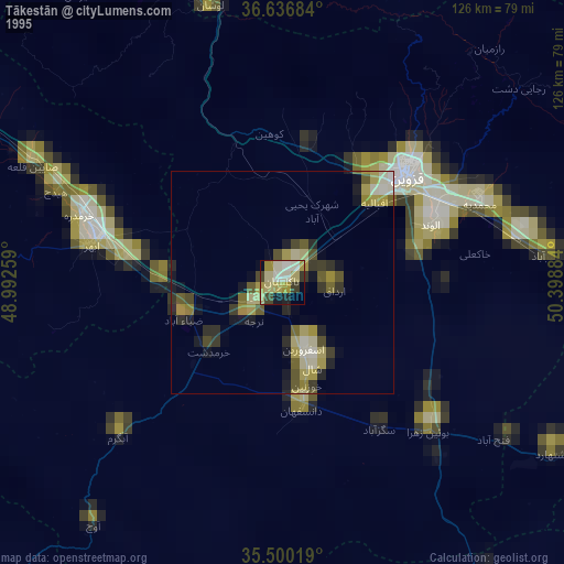
» NASA, Earths city lights 1995
» NASA city lights 2003
» Earth at Night: Flat Maps 2012, 2016