Ash Shaţrah night lights from space
Night Light of Ash Shaţrah (Dhi Qar) from space (Iraq) Src. Average luminocity for 10x10km area is 61.9143% and for 50x50km: 19.6578%.
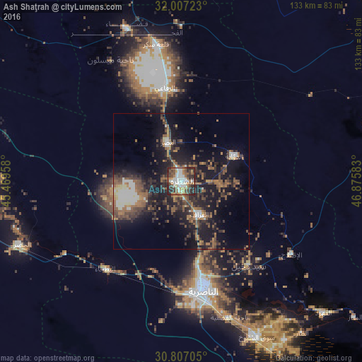
Analysis of Ash Shaţrah night lights 2016
Square area 10x10 km:
 12.59%
90-99
16.08%80-89
4.02%70-79
4.55%60-69
13.99%50-59
9.09%40-49
10.66%30-39
13.81%20-29
15.21%10-19
0%0-9
0%Square area 50x50 km:
1.67%90-99
2.76%80-89
1.08%70-79
1.53%60-69
4%50-59
4.22%40-49
3.59%30-39
4.59%20-29
7.53%10-19
16.58%0-9
52.45%Clear (daylight) street map image can be seen on geolist.org.
Map coordinates:
32° 0' 26" North, 45° 28' 10.5" East
31° 24' 32.6" North, 46° 10' 21.7" East
30° 48' 25.4" North, 46° 52' 33" East
Some cities around Ash Shaţrah sort by population:
• Nasiriyah
39.9 km =24.8 mi,  168°
168°
• Al ‘Amārah
103.5 km =64.3 mi,  62°
62°
• As Samawah
83.8 km =52.1 mi,  264°
264°
• Al Ḩayy
85.9 km =53.4 mi,  351°
351°
• Ar Rumaythah
92.8 km =57.7 mi,  278°
278°
• ‘Afak
113.9 km =70.8 mi,  309°
309°
• Nāḩiyat al Fuhūd
71.6 km =44.5 mi,  133°
133°
• ‘Alī al Gharbī
126.8 km =78.8 mi,  22°
22°
98622 (p: 82,732)
Sources (retrieved 2019-11-25):
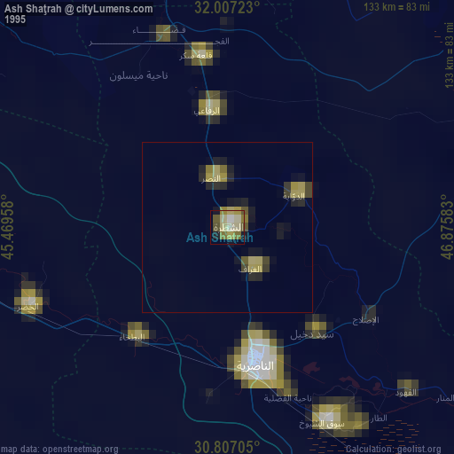
» NASA, Earths city lights 1995
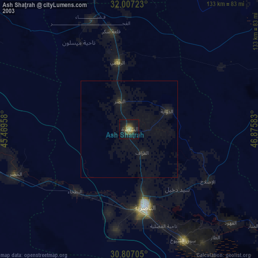
» NASA city lights 2003
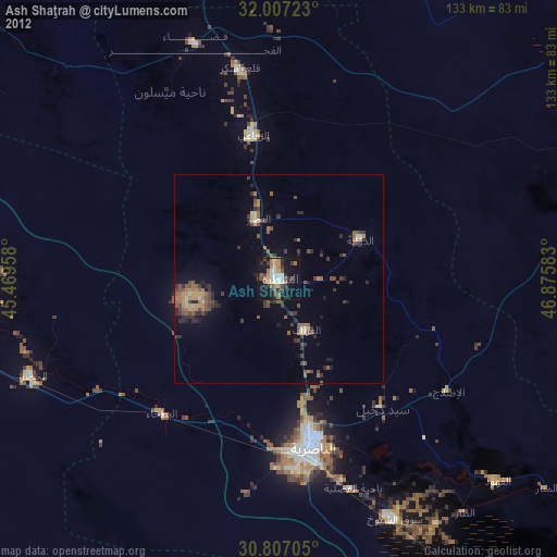
» Earth at Night: Flat Maps 2012, 2016