Ar Rumaythah night lights from space
Night Light of Ar Rumaythah (Al Muthanná) from space (Iraq) Src. Average luminocity for 10x10km area is 54.8164% and for 50x50km: 16.0326%.
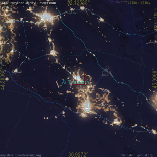
Analysis of Ar Rumaythah night lights 2016
Square area 10x10 km:
 9.09%
9.09%90-99
20.45%80-89
0.87%70-79
3.85%60-69
4.55%50-59
7.34%40-49
9.27%30-39
10.14%20-29
28.5%10-19
5.94%0-9
0%Square area 50x50 km:
1.35%90-99
2.12%80-89
0.93%70-79
1.79%60-69
3.01%50-59
3.4%40-49
3.68%30-39
4.02%20-29
5.86%10-19
10.24%0-9
63.61%Clear (daylight) street map image can be seen on geolist.org.
Map coordinates:
32° 7' 33.1" North, 44° 30' 2.3" East
31° 31' 42.4" North, 45° 12' 13.6" East
30° 55' 37.9" North, 45° 54' 24.8" East
Some cities around Ar Rumaythah sort by population:
• Ad Dīwānīyah
58 km =36 mi,  333°
333°
• As Samawah
23.5 km =14.6 mi,  158°
158°
• Kufa
92.7 km =57.6 mi,  308°
308°
• Ash Shāmīyah
74.7 km =46.4 mi, 310°
• Nahiyat Ghammas
60.2 km =37.4 mi,  293°
293°
• Al Mishkhāb
74.2 km =46.1 mi, 294°
• Nāḩiyat ash Shināfīyah
53.1 km =33 mi,  276°
276°
• ‘Afak
59.7 km =37.1 mi,  3°
3°
98685 (p: 47,248)
Sources (retrieved 2019-11-25):
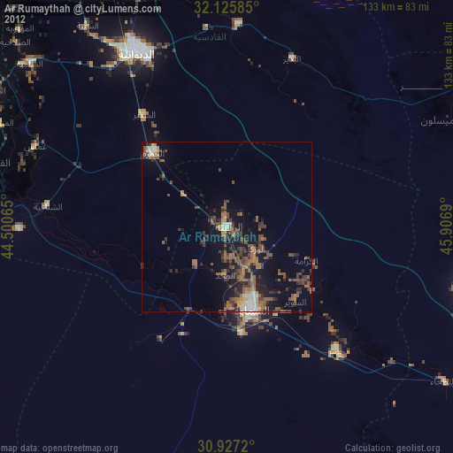
» Earth at Night: Flat Maps 2012, 2016