As Samawah night lights from space
Night Light of As Samawah (Al Muthanná) from space (Iraq) Src. Average luminocity for 10x10km area is 71.6486% and for 50x50km: 18.963%.
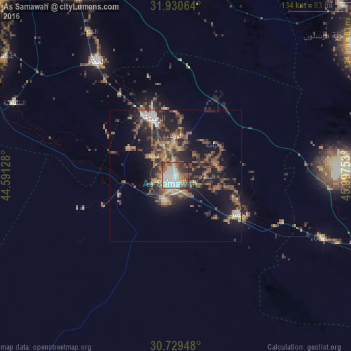
Analysis of As Samawah night lights 2016
Square area 10x10 km:
 21.68%
90-99
18.53%80-89
7.34%70-79
4.37%60-69
11.36%50-59
11.54%40-49
9.79%30-39
8.04%20-29
6.99%10-19
0.35%0-9
0%Square area 50x50 km:
1.57%90-99
2.21%80-89
1.16%70-79
2.07%60-69
3.92%50-59
4.19%40-49
4.56%30-39
4.68%20-29
6.26%10-19
12.7%0-9
56.68%Clear (daylight) street map image can be seen on geolist.org.
Map coordinates:
31° 55' 50.3" North, 44° 35' 28.6" East
31° 19' 55.1" North, 45° 17' 39.8" East
30° 43' 46.1" North, 45° 59' 51.1" East
Some cities around As Samawah sort by population:
• Ad Dīwānīyah
81.4 km =50.6 mi,  334°
334°
• Ash Shaţrah
83.8 km =52.1 mi,  84°
84°
• Ash Shāmīyah
96.1 km =59.7 mi,  316°
316°
• Ar Rumaythah
23.5 km =14.6 mi,  338°
338°
• Nahiyat Ghammas
78.6 km =48.8 mi,  305°
305°
• Al Mishkhāb
92.6 km =57.5 mi,  304°
304°
• Nāḩiyat ash Shināfīyah
67.5 km =41.9 mi,  294°
294°
• ‘Afak
81.5 km =50.6 mi,  356°
356°
98530 (p: 152,890)
Sources (retrieved 2019-11-25):
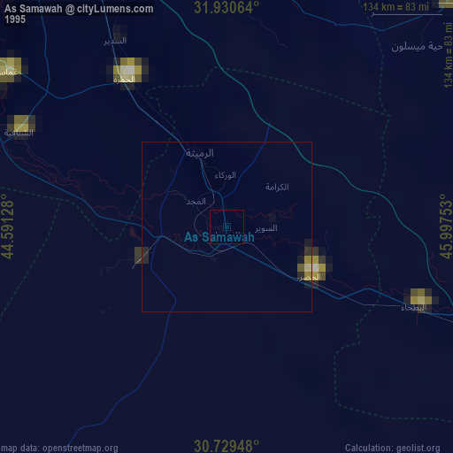
» NASA, Earths city lights 1995
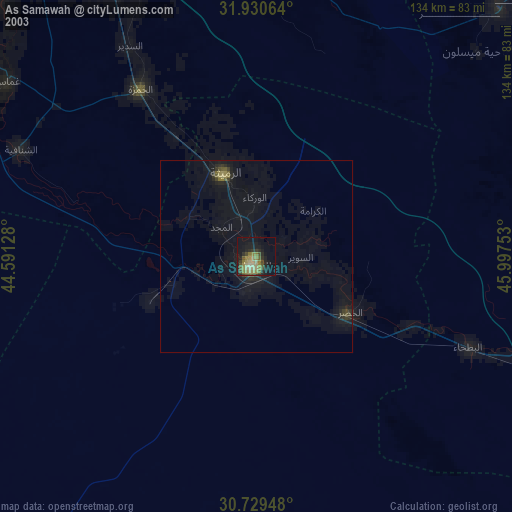
» NASA city lights 2003
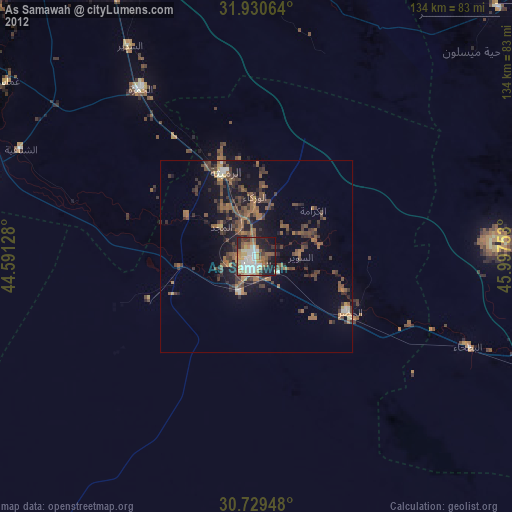
» Earth at Night: Flat Maps 2012, 2016